
Updated edition of a massive directory providing essential information
for navigating in the Southern and Eastern hemispheres

HORSBURGH, James.
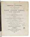
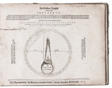
The India directory, or, directions for sailing to and from the East Indies, China, Australia, and the interjacent ports of Africa and South America ... Seventh edition.
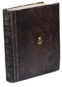
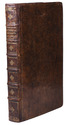
London, Wm. H. Allen & Co. (back of the title pages: printed by Cox and Wyman), 1855. 2 volumes. Large 4to (28 x 23 cm). Contemporary half calf, re-backed with the original backstrips laid down. XII, XXXIV, [2], “681” [= 683], [1 blank]; VIII, 978 pp. Full description
€ 18,000
London, Wm. H. Allen & Co. (back of the title pages: printed by Cox and Wyman), 1855. 2 volumes. Large 4to (28 x 23 cm). Contemporary half calf, re-backed with the original backstrips laid down. XII, XXXIV, [2], “681” [= 683], [1 blank]; VIII, 978 pp. Full description