First edition of a detailed description and illustration of the cities along the coasts of the Baltic Sea
in the context of the Crimean War


[BOSCHETTI, Ambrogio].
Il Mar Baltico e le sue coste descritti e illustrati con alcune carte geografiche topografiche ed orografiche per la guerre d'Oriente.
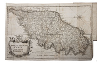
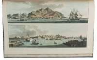
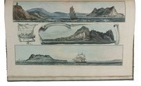
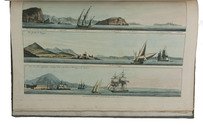
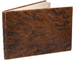
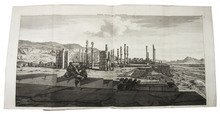
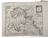
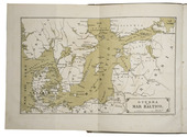
Triest, Colombo Coen, 1854. Large 4to (32.5 x 23.5 cm). With 1 folding map of the Baltic Sea as the frontispiece, 1 military plan of Kronstadt, 15 plates of Finnish, Swedish, Baltic and Russian cities, and 1 small illustration in the text on p. 58. Contemporary half brown cloth, grey paper sides, with the publishers front wrapper (for the "seconda edizione") printed letterpress on pink paper. 131, [1] pp. Full description
€ 3,250
Triest, Colombo Coen, 1854. Large 4to (32.5 x 23.5 cm). With 1 folding map of the Baltic Sea as the frontispiece, 1 military plan of Kronstadt, 15 plates of Finnish, Swedish, Baltic and Russian cities, and 1 small illustration in the text on p. 58. Contemporary half brown cloth, grey paper sides, with the publishers front wrapper (for the "seconda edizione") printed letterpress on pink paper. 131, [1] pp. Full description

