
A rare, very important work on the scientific side of nautical navigation, by a leading 17th-century Dutch mathematician
GRAAF, Abraham de.
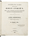
De seven boecken van de groote zeevaert, zijnde een volkomen klare, en konstige beschrijvinghe der navigatie.
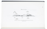
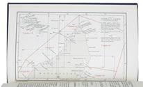
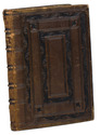
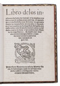
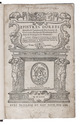
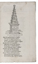
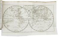
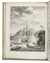
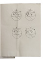
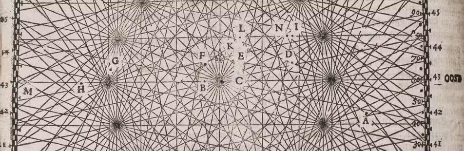
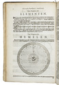
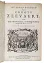
Amsterdam, Pieter Goos, 1658. 7 parts in 1 volume. Folio. With a half-page engraving on the half-title, a woodcut vignette on the title-page, 6 folding engraved tables and numerous woodcut mathematical diagrams, figures, tables and other illustrations in the text. With woodcut tailpieces and woodcut decorated initials. Contemporary vellum with a manuscript title on the spine. [1], [1 blank], [8], 39, [1 blank]; [2], 4, [45], [1 blank], [90], 5-91, [1 blank]; 96; 86, [2 blank]; 39, [1 blank]; 60, 18, [2 blank]; 96, [7], [1 blank] pp. Full description
€ 8,500
Amsterdam, Pieter Goos, 1658. 7 parts in 1 volume. Folio. With a half-page engraving on the half-title, a woodcut vignette on the title-page, 6 folding engraved tables and numerous woodcut mathematical diagrams, figures, tables and other illustrations in the text. With woodcut tailpieces and woodcut decorated initials. Contemporary vellum with a manuscript title on the spine. [1], [1 blank], [8], 39, [1 blank]; [2], 4, [45], [1 blank], [90], 5-91, [1 blank]; 96; 86, [2 blank]; 39, [1 blank]; 60, 18, [2 blank]; 96, [7], [1 blank] pp. Full description