
How to calculate longitude at sea
SWINDEN, Jan Hendrik van, Pieter NIEUWLAND and Gerard HULST VAN KEULEN.
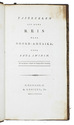
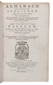
Almanach ten dienste der zeelieden voor het jaar 1788.
Including:
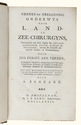
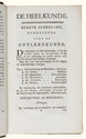
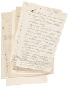
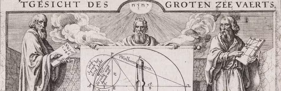
(2) Over het bepalen der lengte op zee door de afstanden van de maan tot de zon, of vaste sterren, ...(3) Van tafelen, ten dienste der zeelieden, en voor al ter bevordering van het bepaalen der lengte op zee, door de afstanden van de maan tot de zon, of de vaste sterren; ...
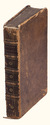
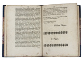
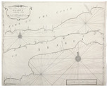
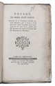
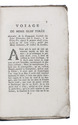
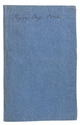
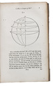
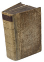
Amsterdam, Gerard Hulst van Keulen, 1787-1788. 3 parts in 1 volume. 8vo. With three title pages with woodcut printer's device, mathematical figures in the text, letterpress tables, and 4 large printed folding tables. Contemporary half vellum. XXX, 108, 87, [1]; XXIII, 136; [4], 30, [2], 60 pp. Full description
€ 1,500
Including:
(2) Over het bepalen der lengte op zee door de afstanden van de maan tot de zon, of vaste sterren, ...(3) Van tafelen, ten dienste der zeelieden, en voor al ter bevordering van het bepaalen der lengte op zee, door de afstanden van de maan tot de zon, of de vaste sterren; ...
Amsterdam, Gerard Hulst van Keulen, 1787-1788. 3 parts in 1 volume. 8vo. With three title pages with woodcut printer's device, mathematical figures in the text, letterpress tables, and 4 large printed folding tables. Contemporary half vellum. XXX, 108, 87, [1]; XXIII, 136; [4], 30, [2], 60 pp. Full description