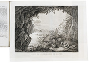
Very interesting large folding map of Galicia (southeastern Poland) as part of the Habsburg Empire
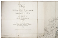
REYMANN, Daniel Gottlob.
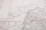
Karte eines Theils von Neu oder West Gallicien welcher die Woywodschaften Sendomier und Krakau enthält nebst einem Theil von Alt Gallicien in XII Blatt, entworffen von Daniel Gottlob Reymann Königl: Preuss: Plan Kammer Inspector und Ingénieu Géographe.
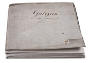
[Berlin, S. Schropp & Comp.,] 1797. Engraved map in 12 sheets, cut into 49 (7 x 7) sections (each ca. 22 x 21 cm) with a total size of 154 x 154 cm. Scale ca. 1:180,000. Partly hand-coloured in outline. Mounted on linen. Full description
€ 2,500
[Berlin, S. Schropp & Comp.,] 1797. Engraved map in 12 sheets, cut into 49 (7 x 7) sections (each ca. 22 x 21 cm) with a total size of 154 x 154 cm. Scale ca. 1:180,000. Partly hand-coloured in outline. Mounted on linen. Full description


