
First edition of a treatise on colour by a friend of Titian
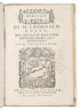
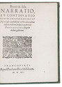
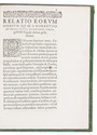
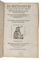
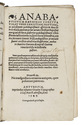
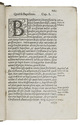
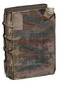
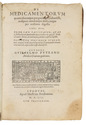
DOLCE, Lodovico.
Dialogo ..., nel quale si ragiona delle qualità, diversità, e proprietà de i colori.
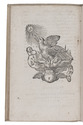
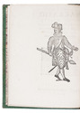
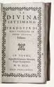
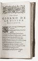
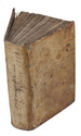
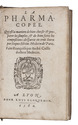
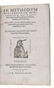
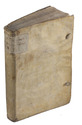
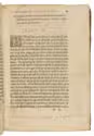
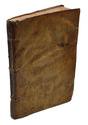
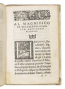
Venice, Giovanni Battista & Melchiorre Sessa and brothers (colophon: 1565). Small 8vo (15 x 10.5 cm). With woodcut scrollwork Pegasus device on title-page, the word "Dilogo" in a woodcut scrollwork frame, 2 woodcut headpieces, 3 woodcut decorated initials (1 with a figure riding a griffon, 1 with a leopard(?)) and 3 fleurons. With the main text set in italic and preliminaries in roman. 18th-century half parchment (recased?). 87, [1] ll. Full description
€ 6,700
Venice, Giovanni Battista & Melchiorre Sessa and brothers (colophon: 1565). Small 8vo (15 x 10.5 cm). With woodcut scrollwork Pegasus device on title-page, the word "Dilogo" in a woodcut scrollwork frame, 2 woodcut headpieces, 3 woodcut decorated initials (1 with a figure riding a griffon, 1 with a leopard(?)) and 3 fleurons. With the main text set in italic and preliminaries in roman. 18th-century half parchment (recased?). 87, [1] ll. Full description