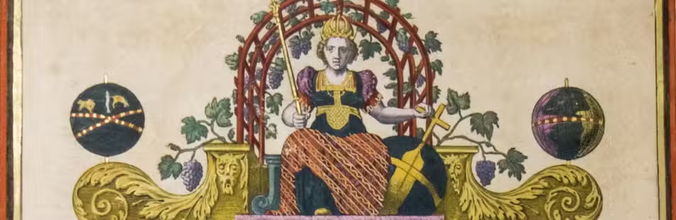

Map of North Holland printed on cloth
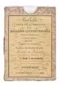
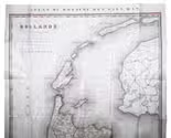
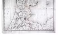
[MAP - NORTH HOLLAND].
Hollande septentrionale divisée en arrondisemens et cantons de justice de paix.
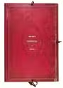
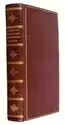
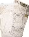
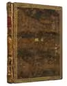
The Hague, F. J. Weygand, 1836. Ca. 89 x 61.5 cm. An engraved map with hand coloured outlines, printed on coated linen. The map is folded and housed in the original brown cloth slipcase with a paper title label mounted on the front. Full description
€ 1,250
The Hague, F. J. Weygand, 1836. Ca. 89 x 61.5 cm. An engraved map with hand coloured outlines, printed on coated linen. The map is folded and housed in the original brown cloth slipcase with a paper title label mounted on the front. Full description