HARRIS, John.
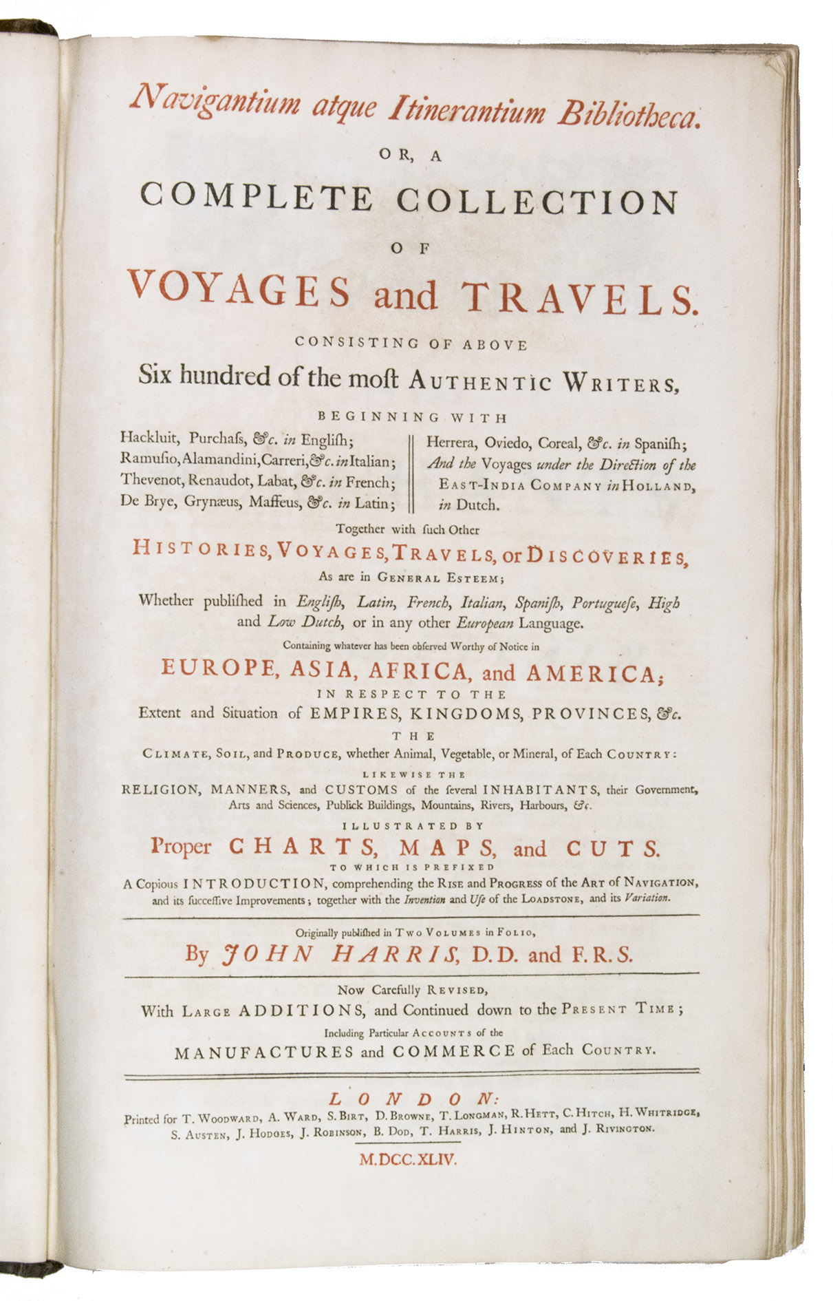
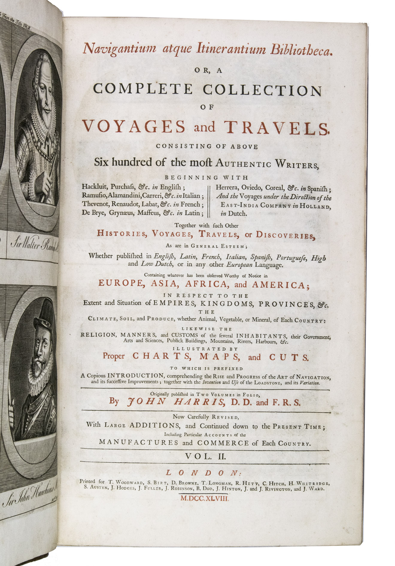
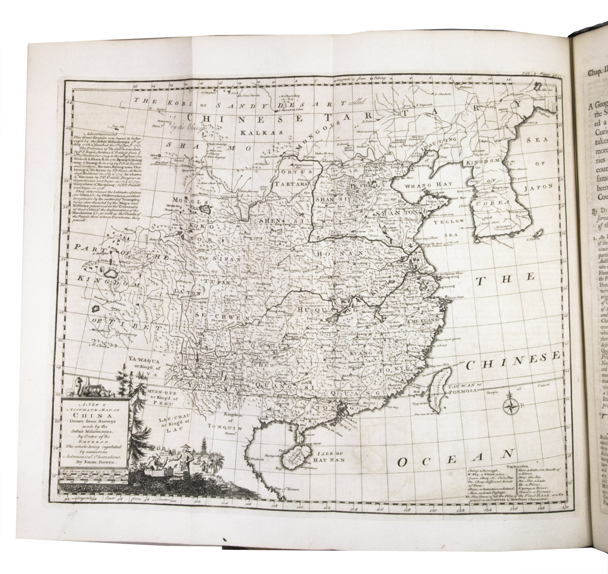
Navigantium atque itinerantium bibliotheca. Or, a complete collection of voyages and travels. Consisting of above six hundred of the most authentic writers, beginning with Hackluit, Purchass, &c. in English Ramusio, Alamandini, Carreri, &c. in Italian ... Together with such other histories, voyages, travels, of discoveries, as are in general esteem; ... containing whatever has been observed worthy of notice in Europe, Asia, Africa, and America ...
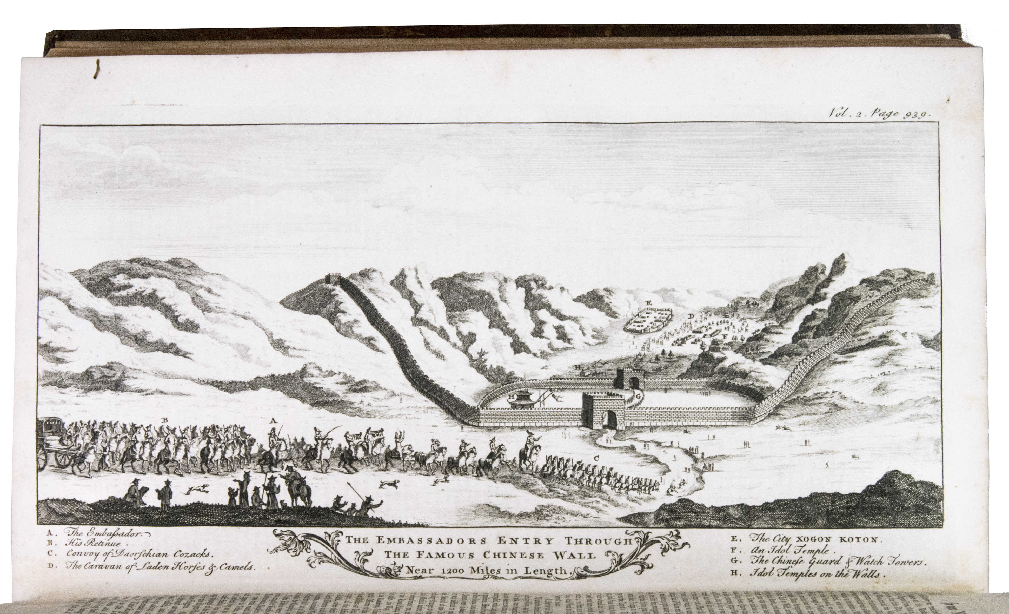
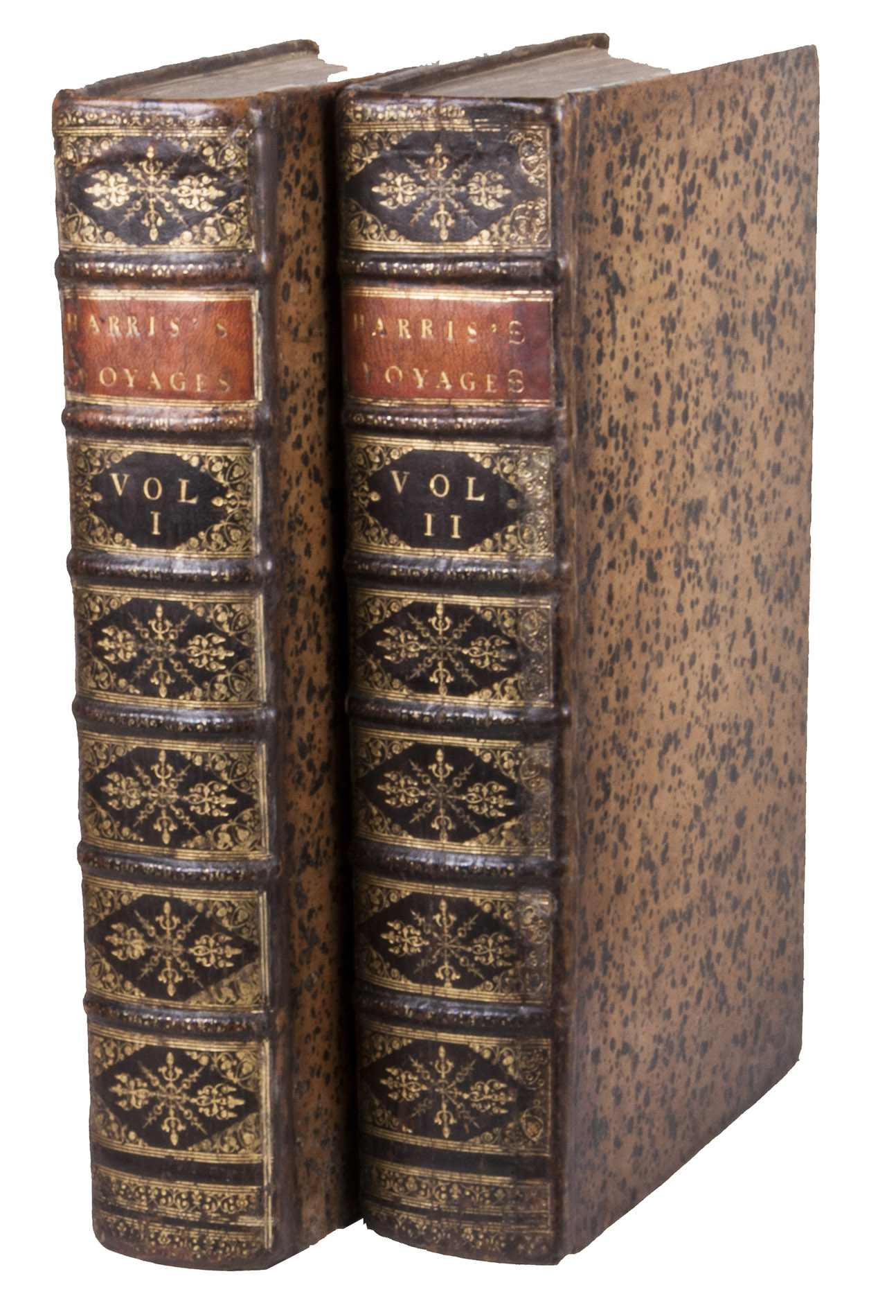
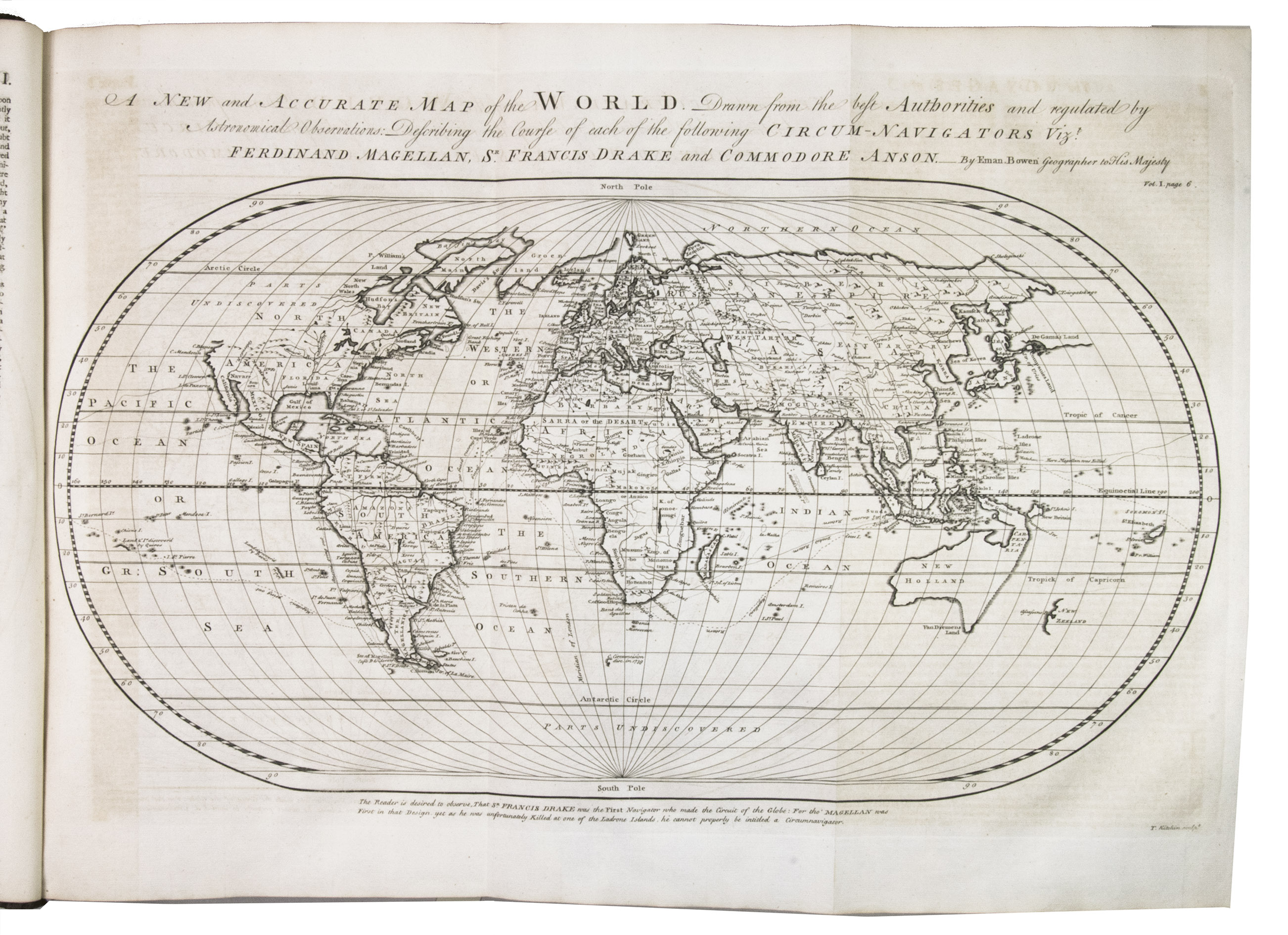
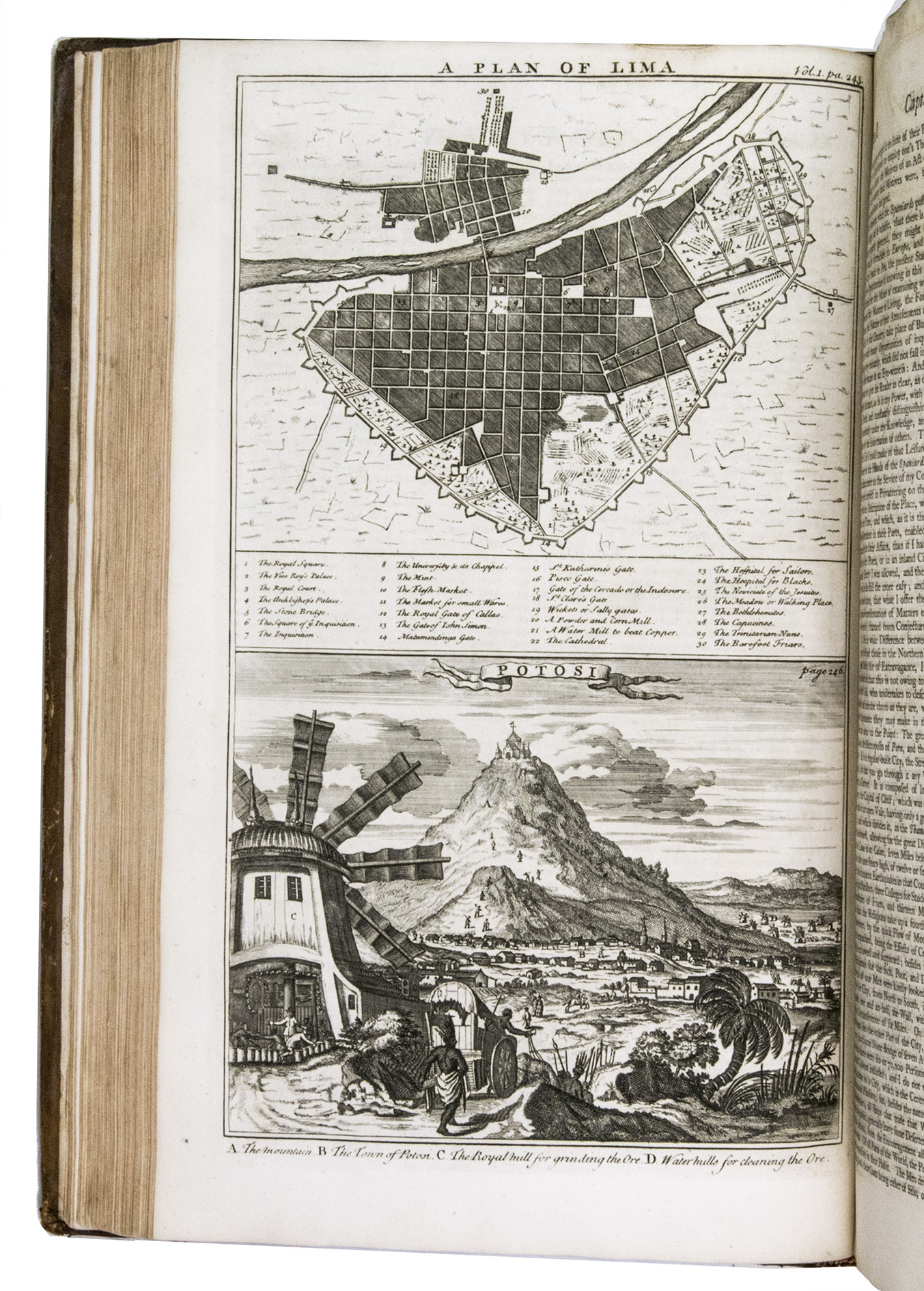
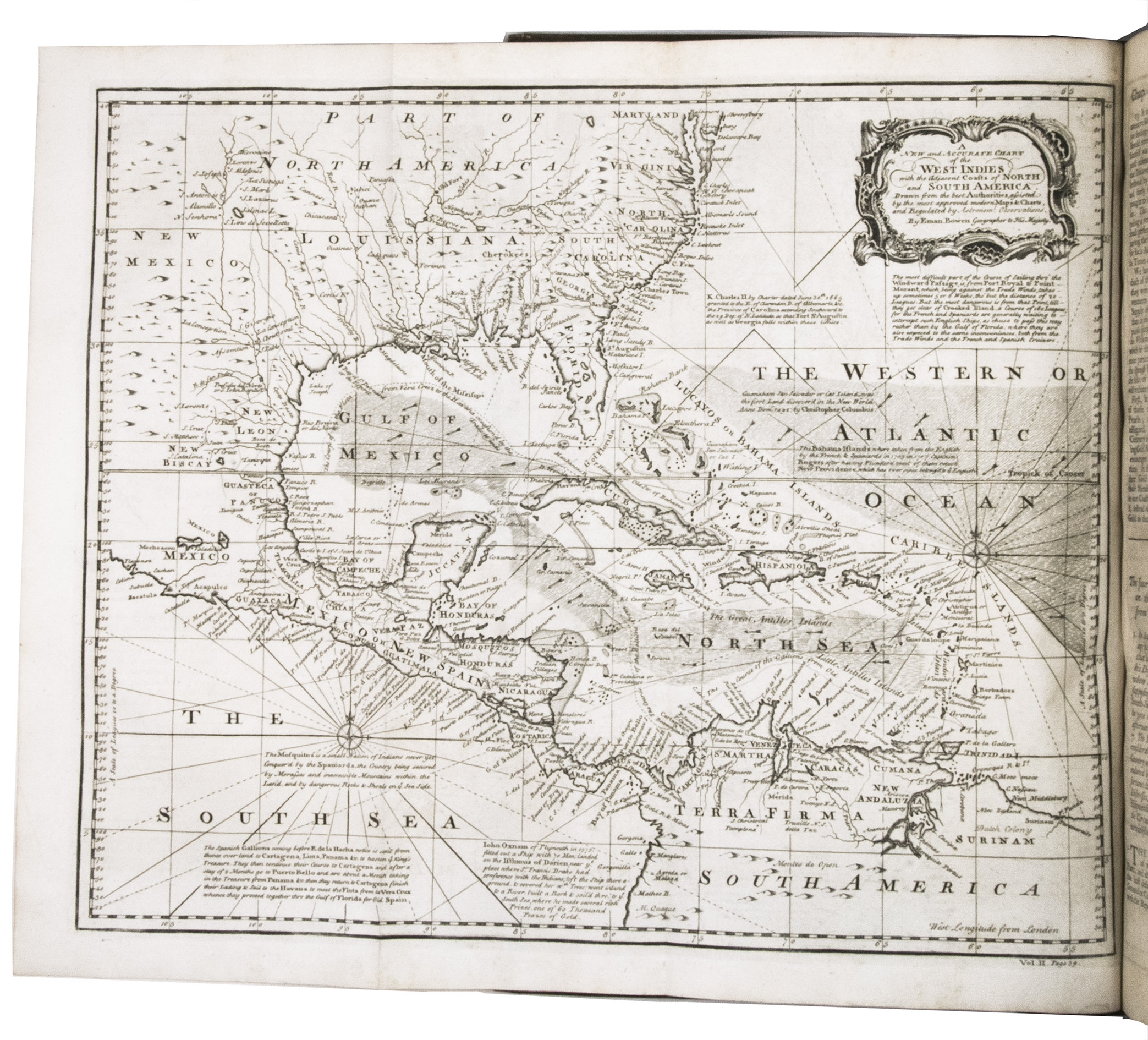
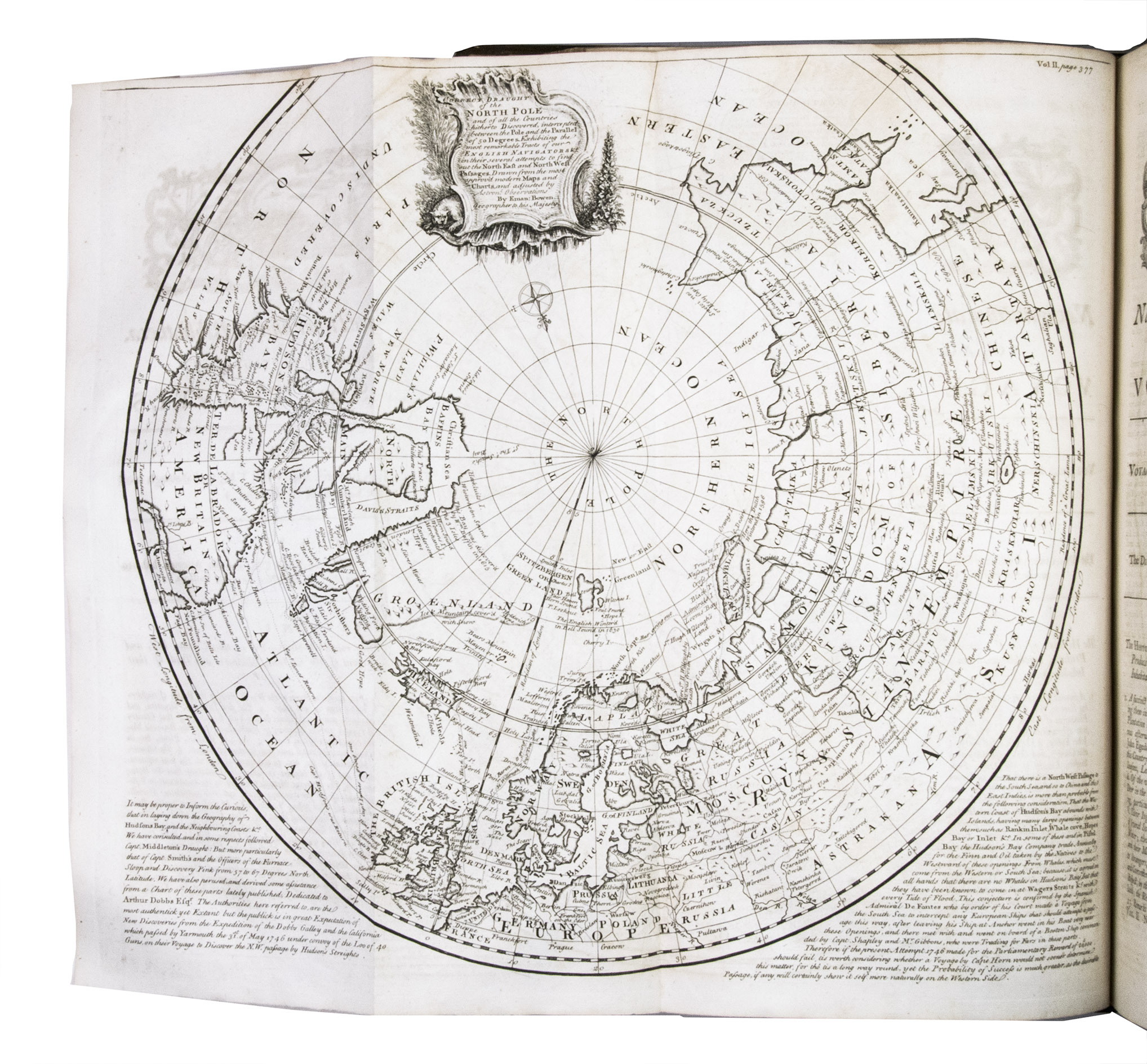
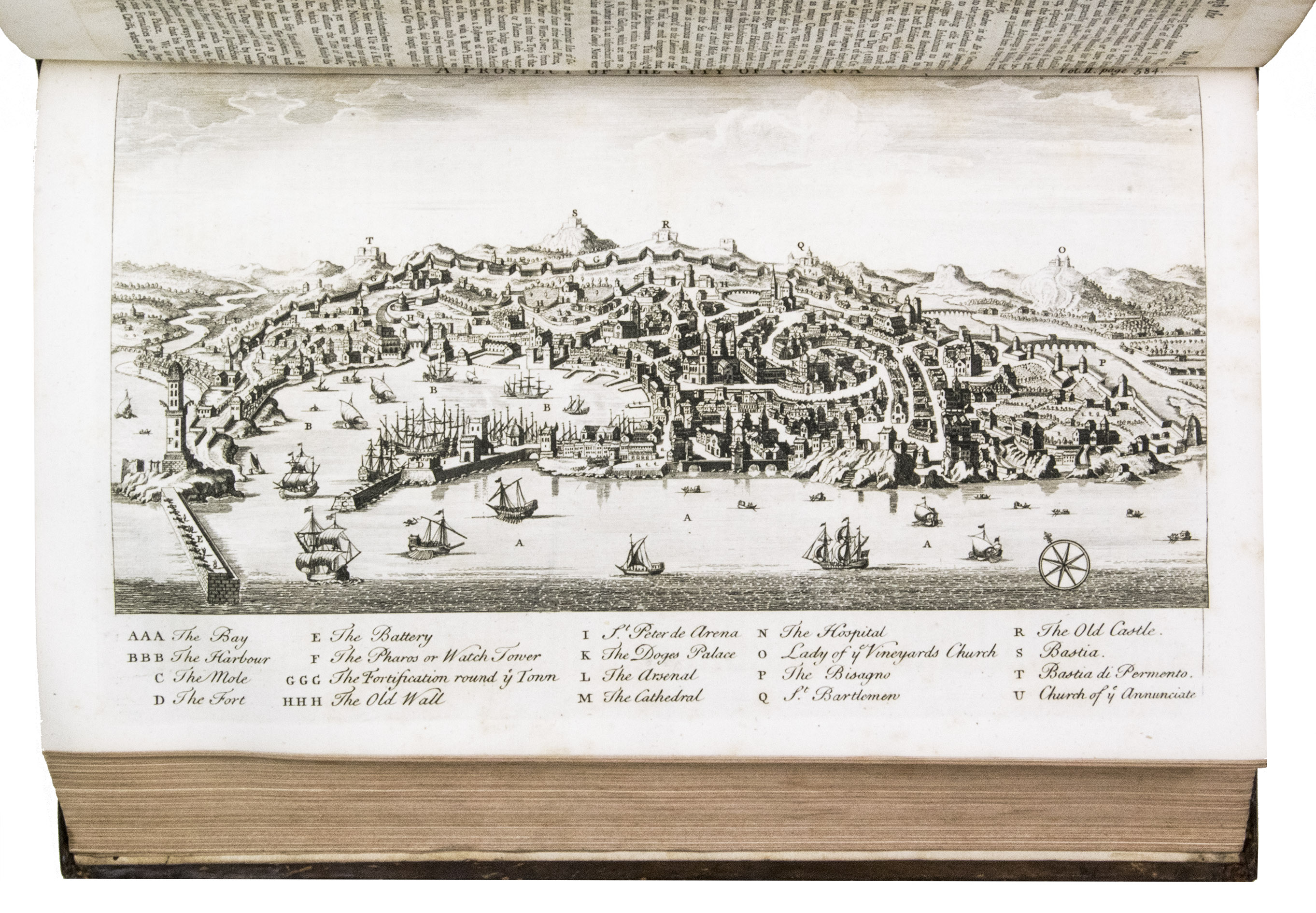
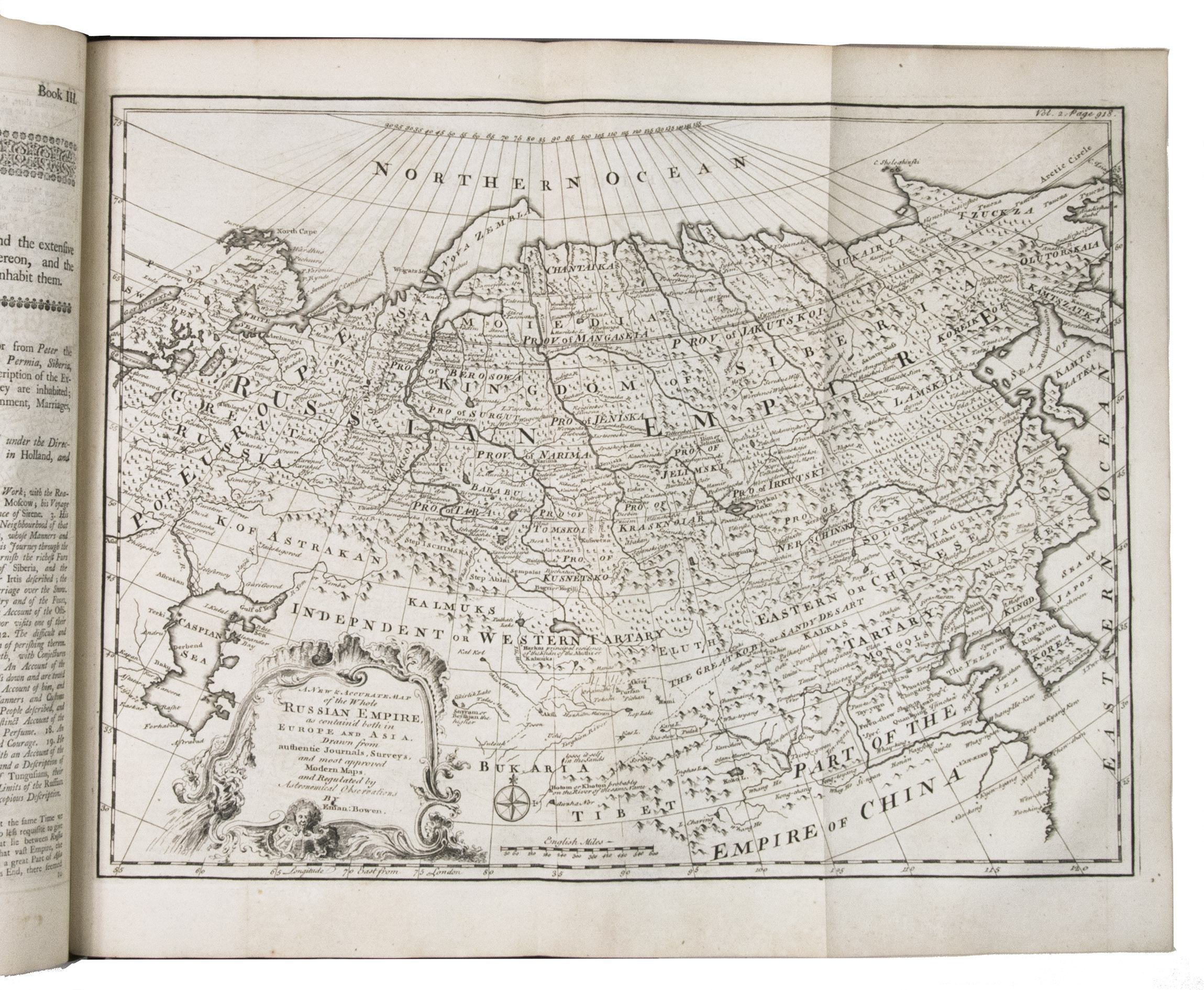
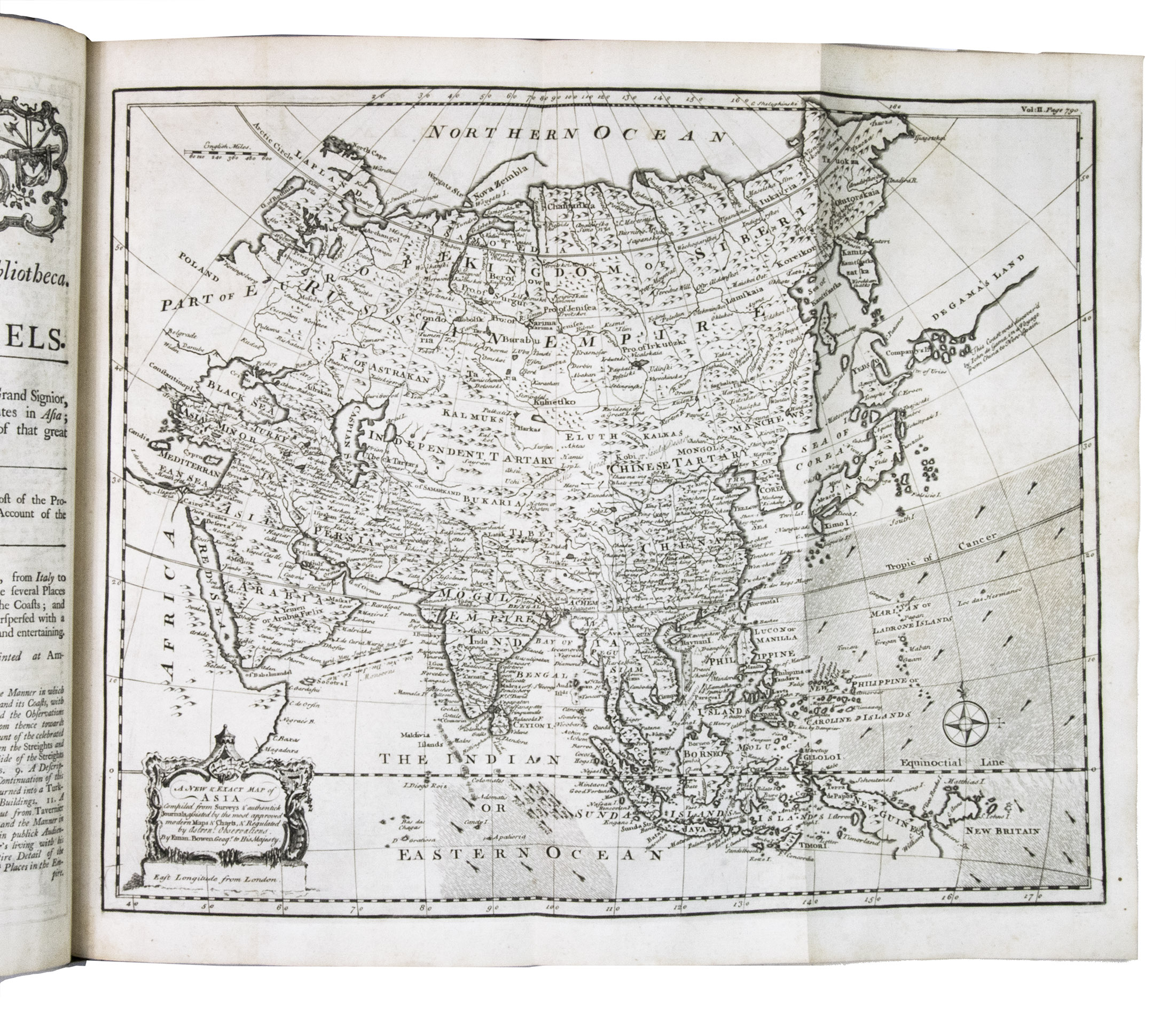
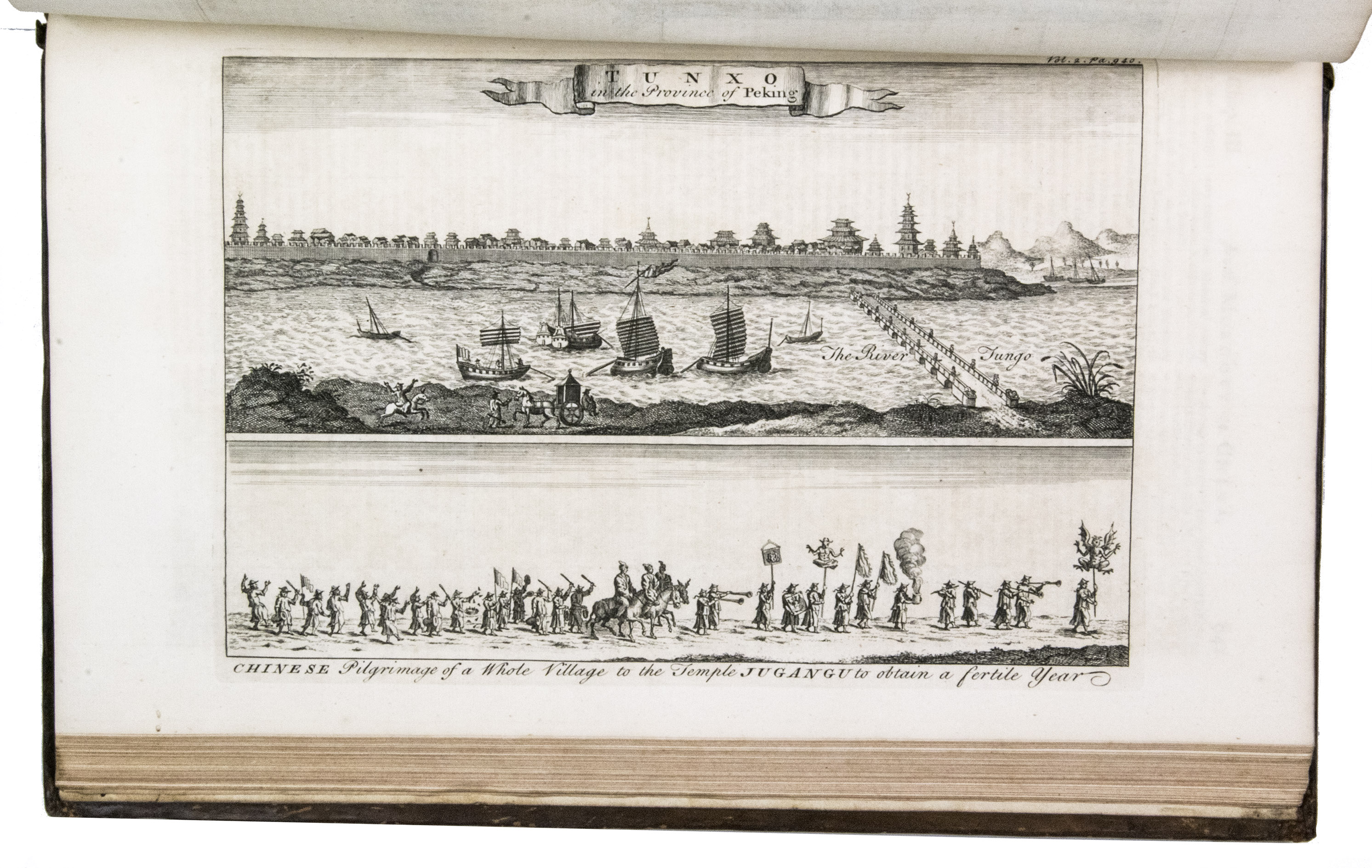
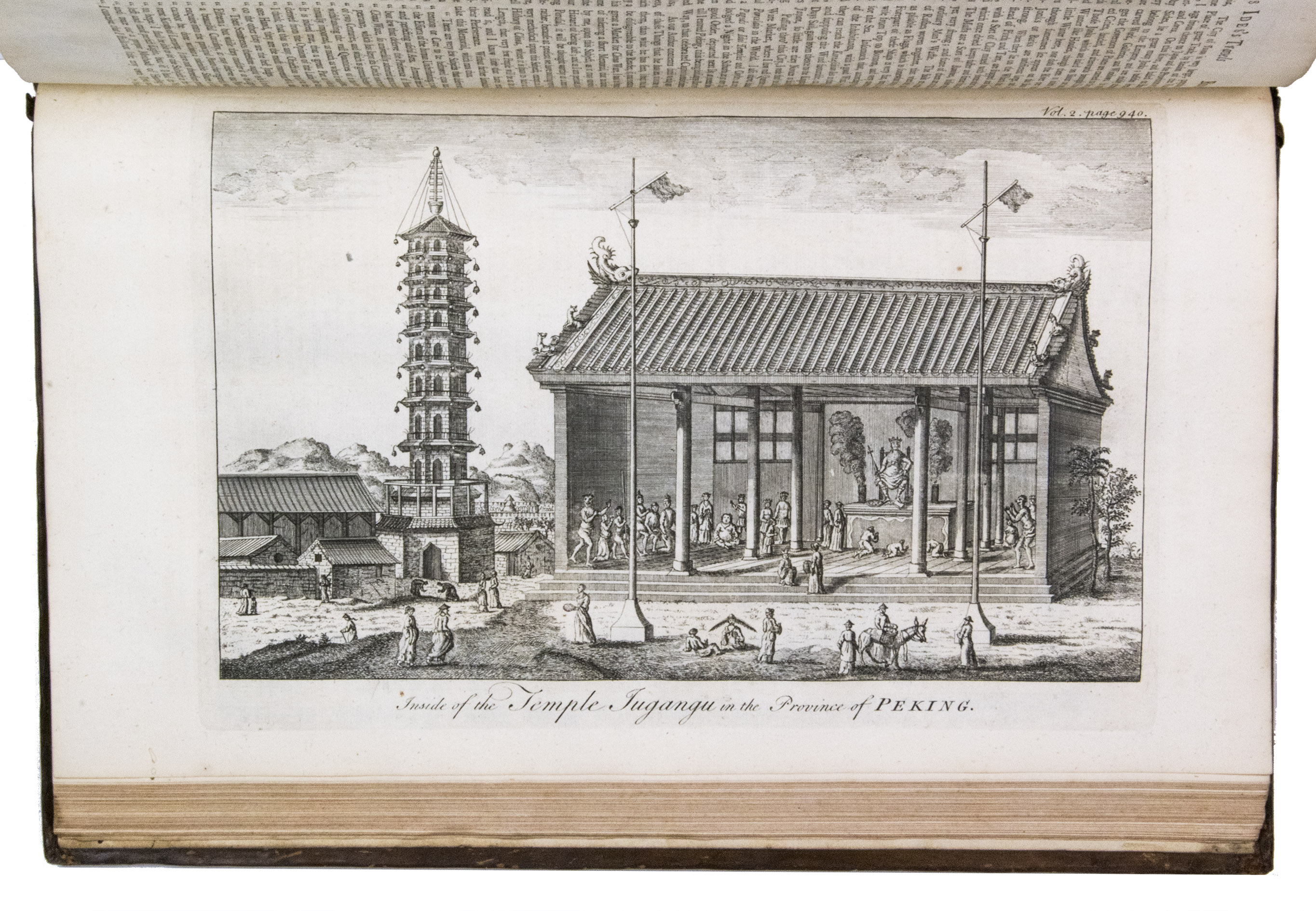
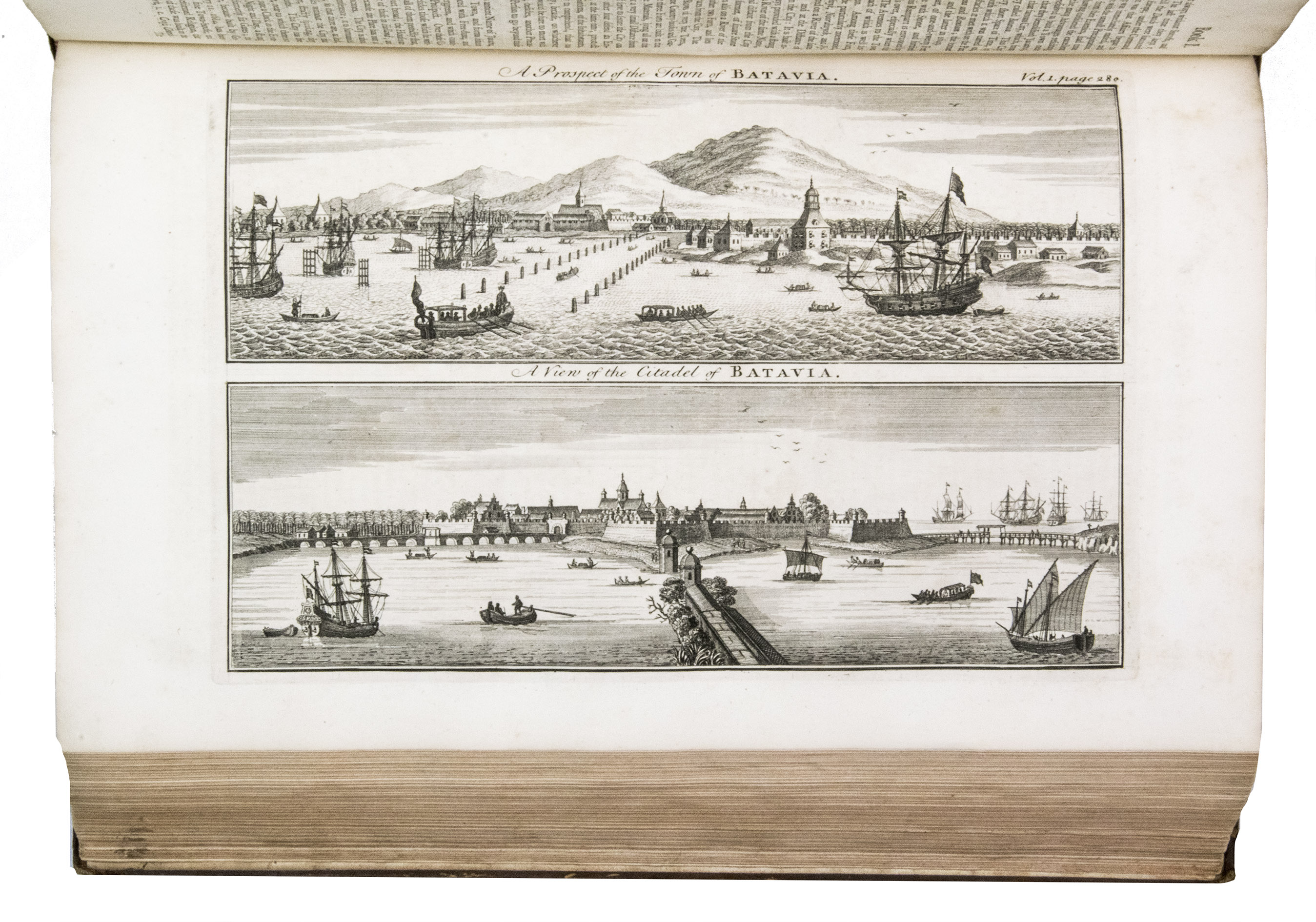
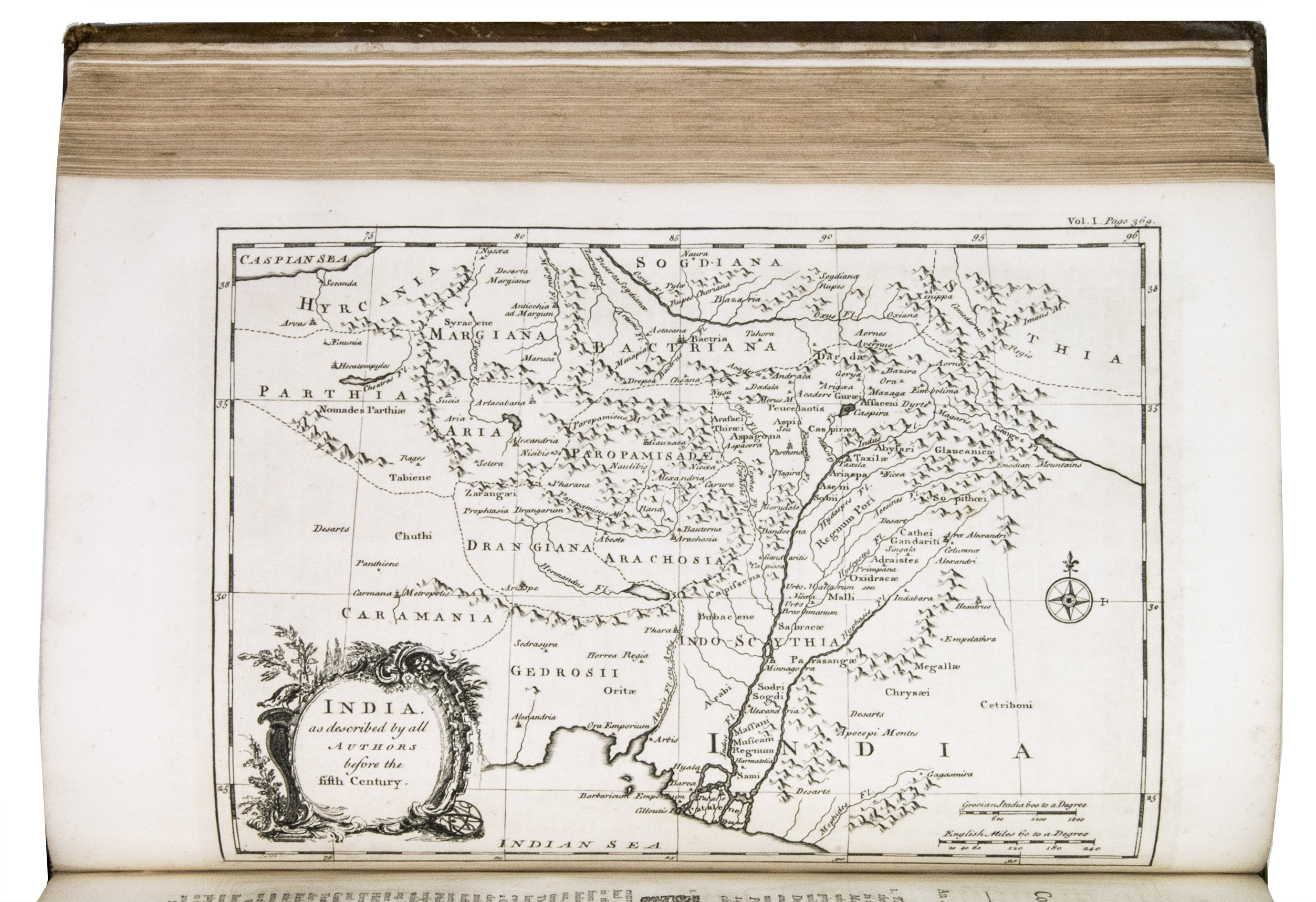
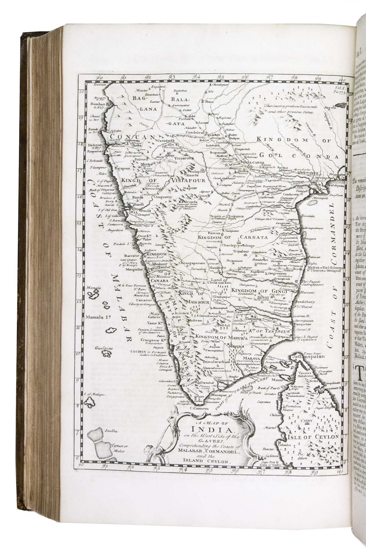
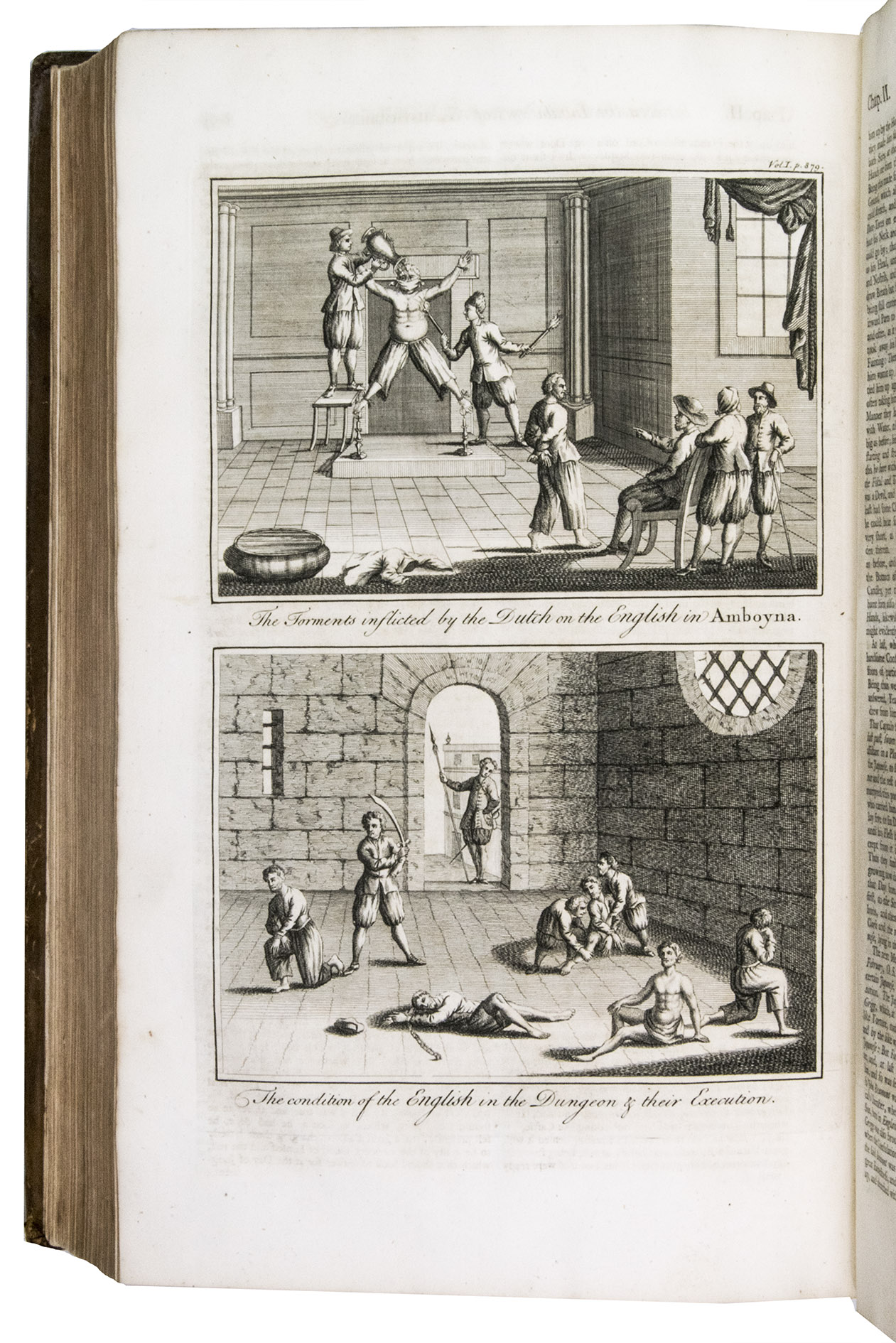
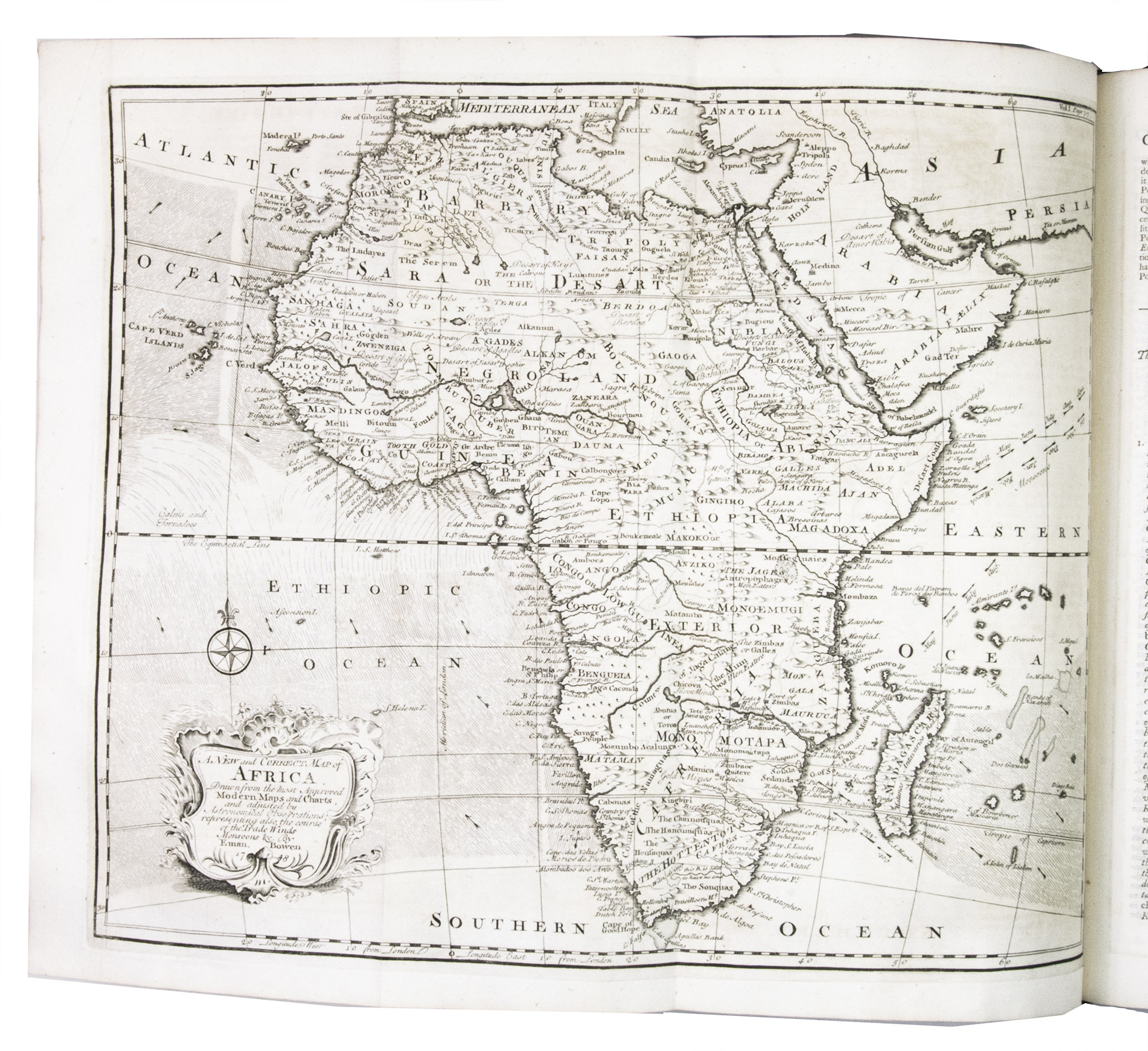
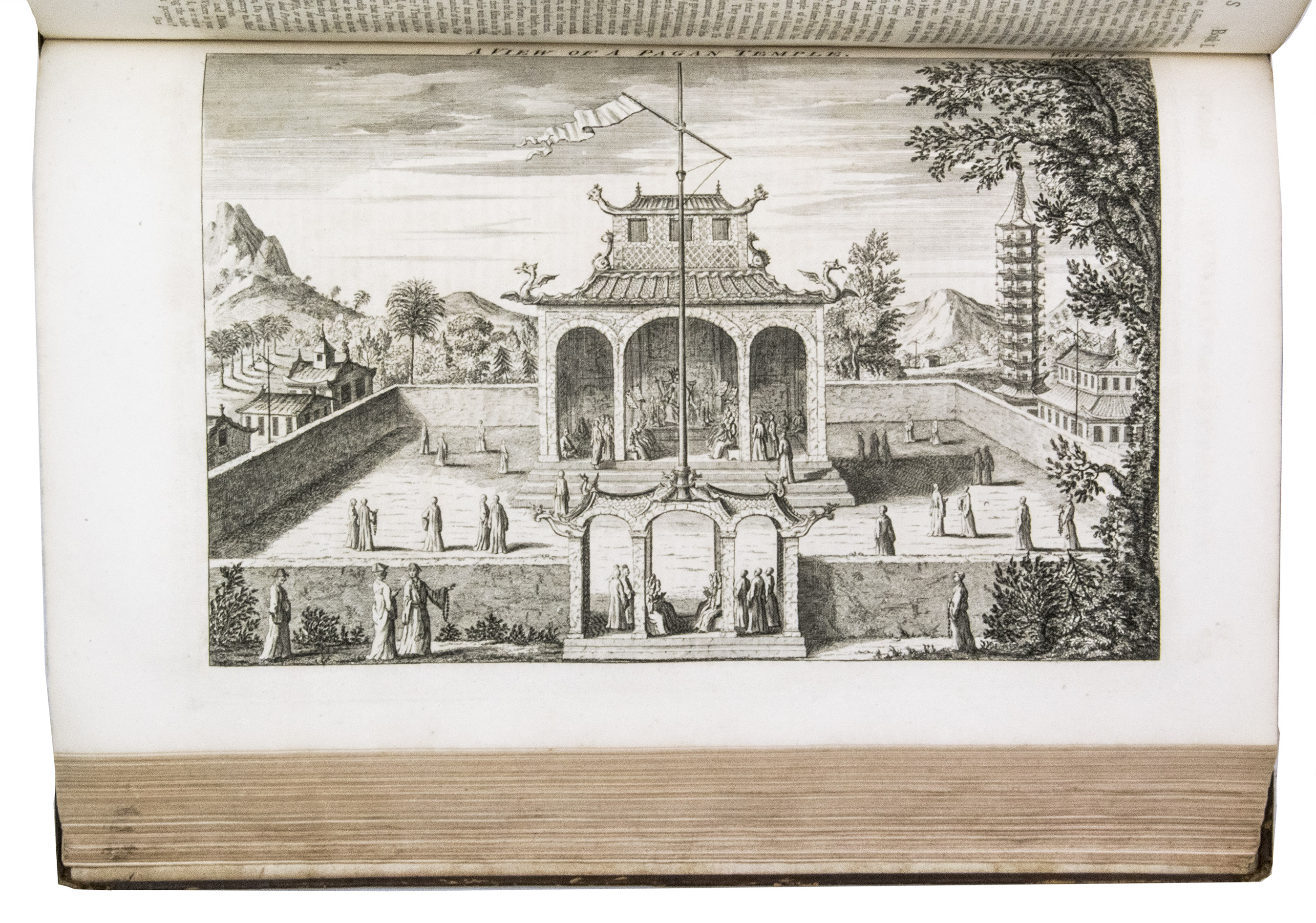
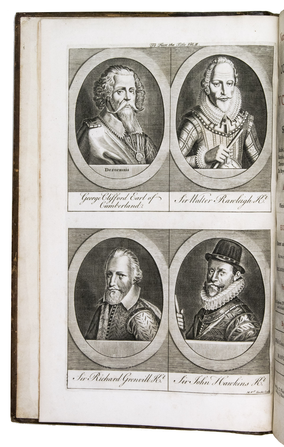
London, Printed for T. Woodward, A. Ward, S. Bird (and 12 others), 1744-48. 2 volumes. Large folio (41 x 25 cm). With the title-pages printed in red and black, 22 maps (16 folding, 6 full-page), 2 full-page plans, 37 full-page plates, and numerous decorated woodcut initials and head- and tail pieces. Contemporary gold-tooled mottled brown calf, richly gold-tooled spines with red morocco title labels lettered in gold, gold-tooled board edges, red edges. [12], XVI, [4], 984; [10], 1056, [10] pp.
€ 20,000
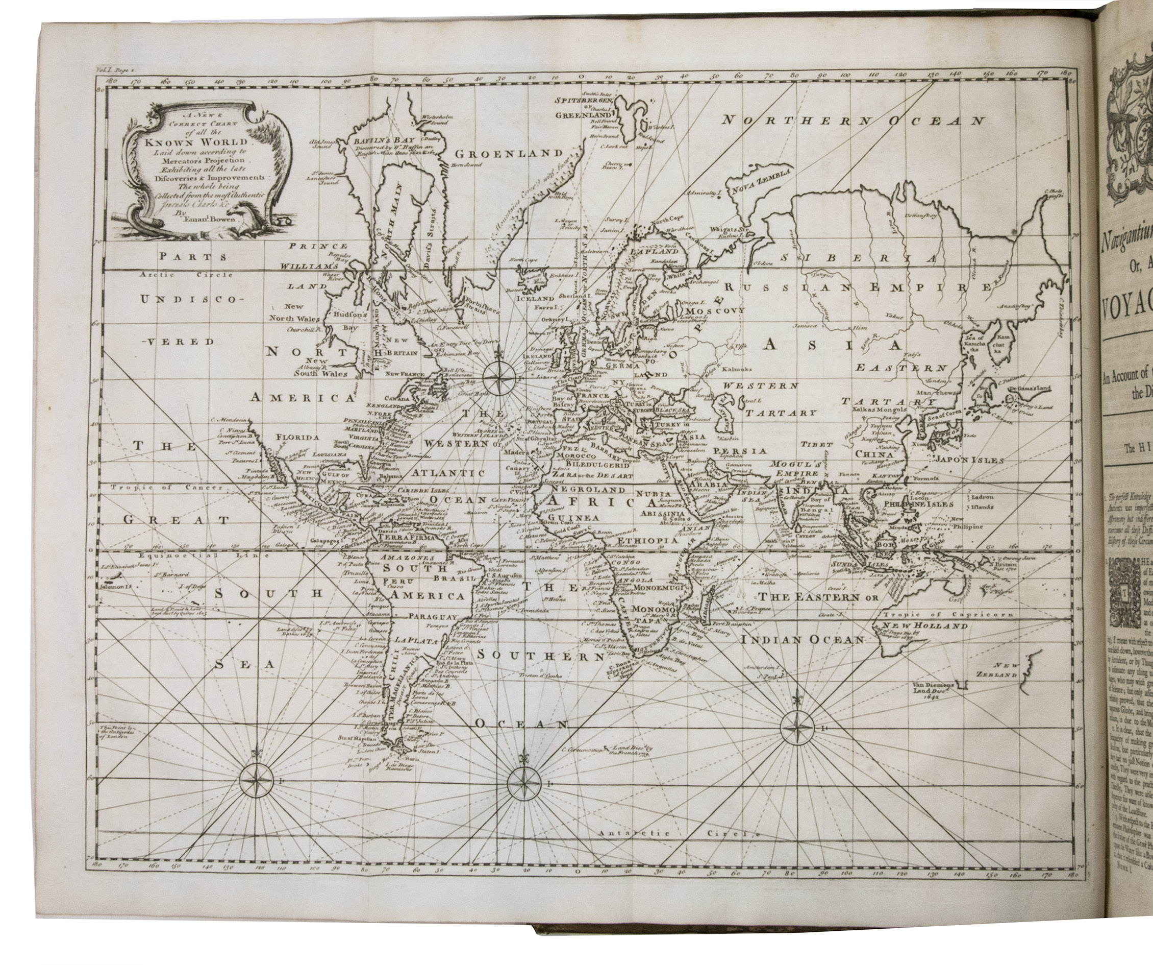
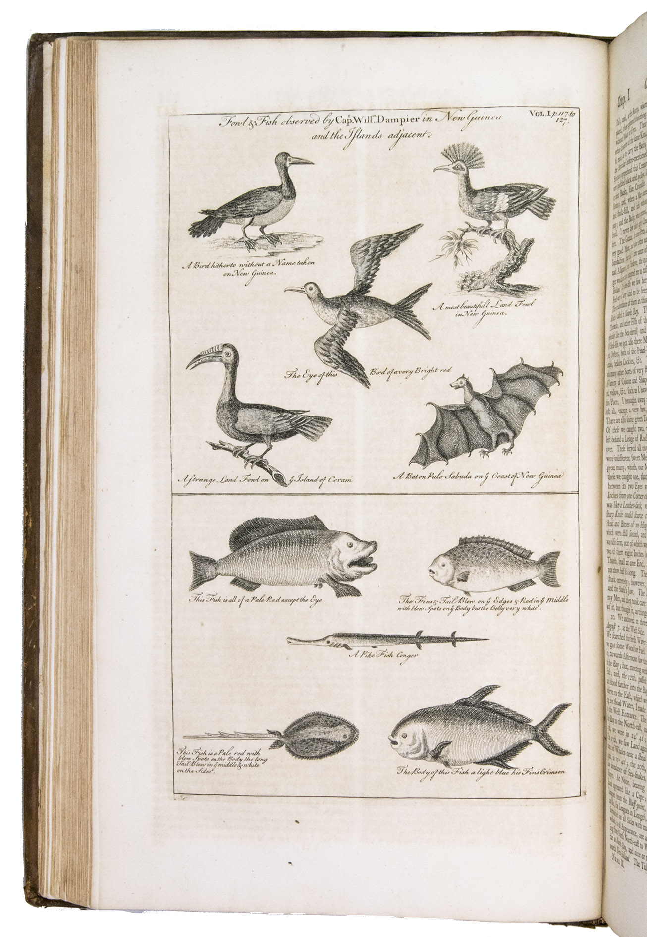
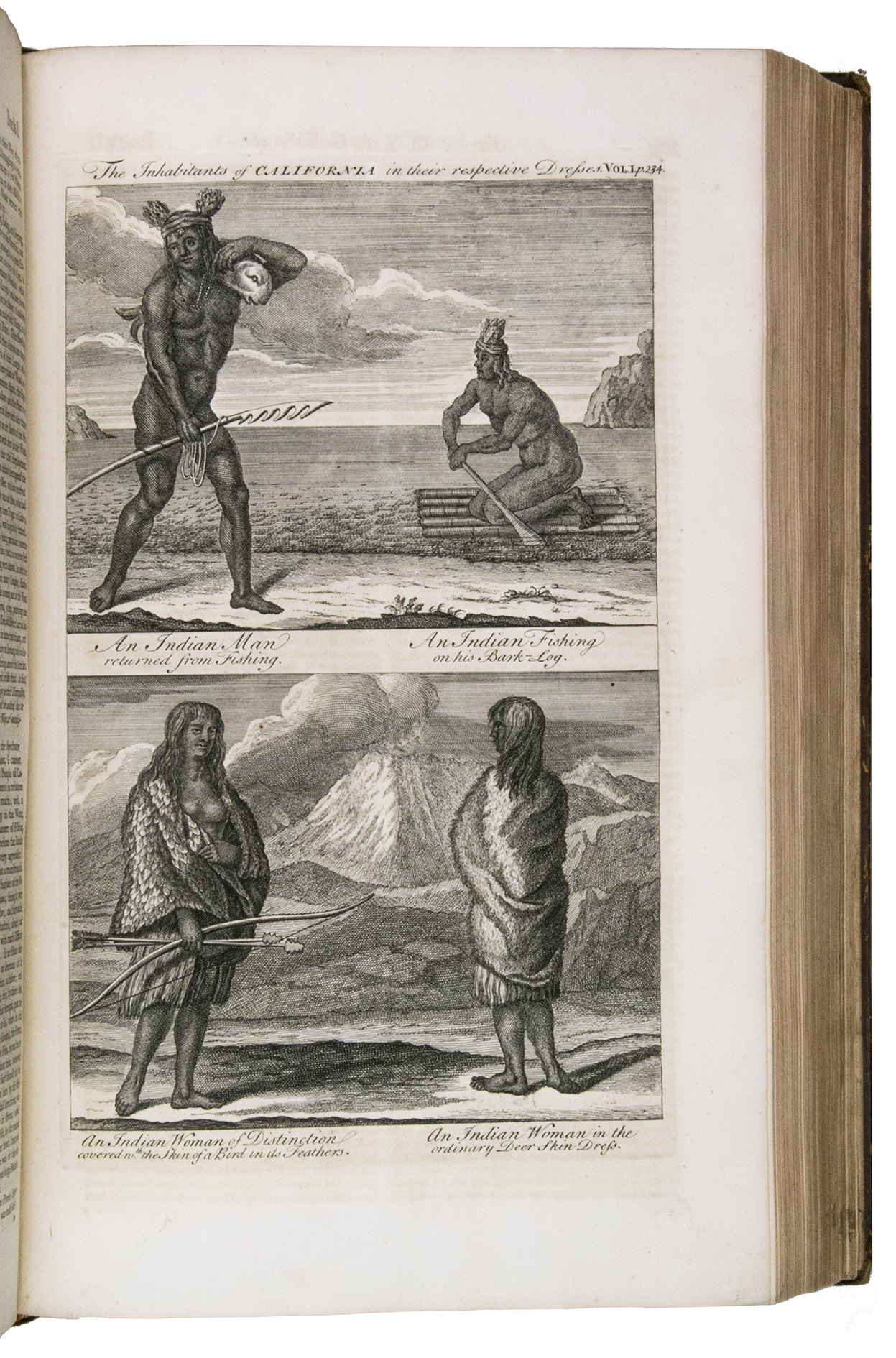
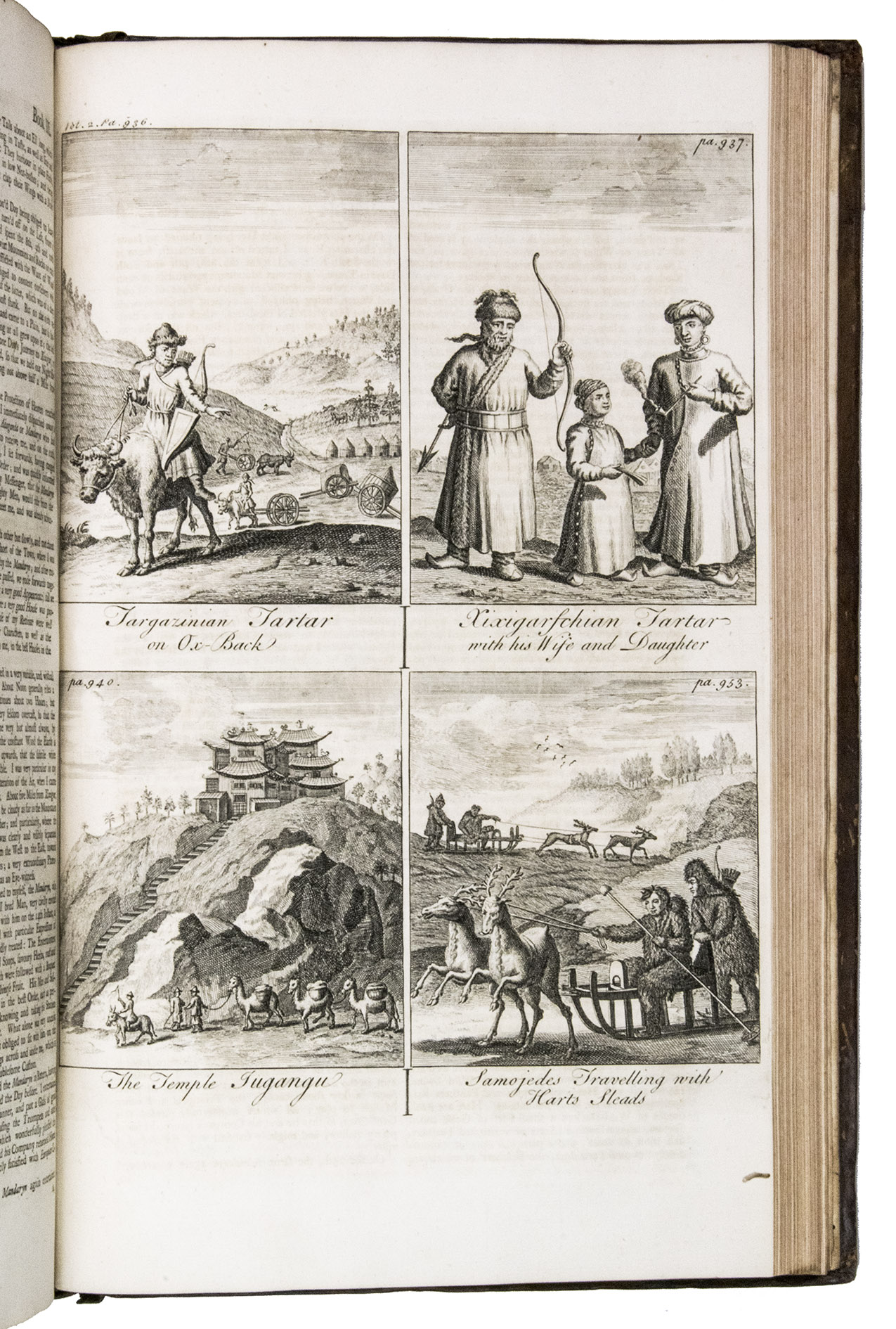
Second, enlarged and best edition of this famous collection of travels, journeys, and extensive descriptions of various countries all over the world. This edition "especially prized for its maps has been called the most complete by several authorities. To the original extensive collection [including Magellan, Drake, Cavendish, Schouten, Hawkins, Narbrough, and Dampier] are added accounts completed since the first publication: Christopher Middleton to Hudson's Bay, 1741-42; Behring to the Northeast, 1725-26; Woodes Roger's circumnavigation, 1708-11; Clipperton [&] Shevlocke's circumnavigation, 1719-22; Roggeveen to the Pacific, 1721-33; and the various travels of Lord Anson, 1740-44" (Hill).
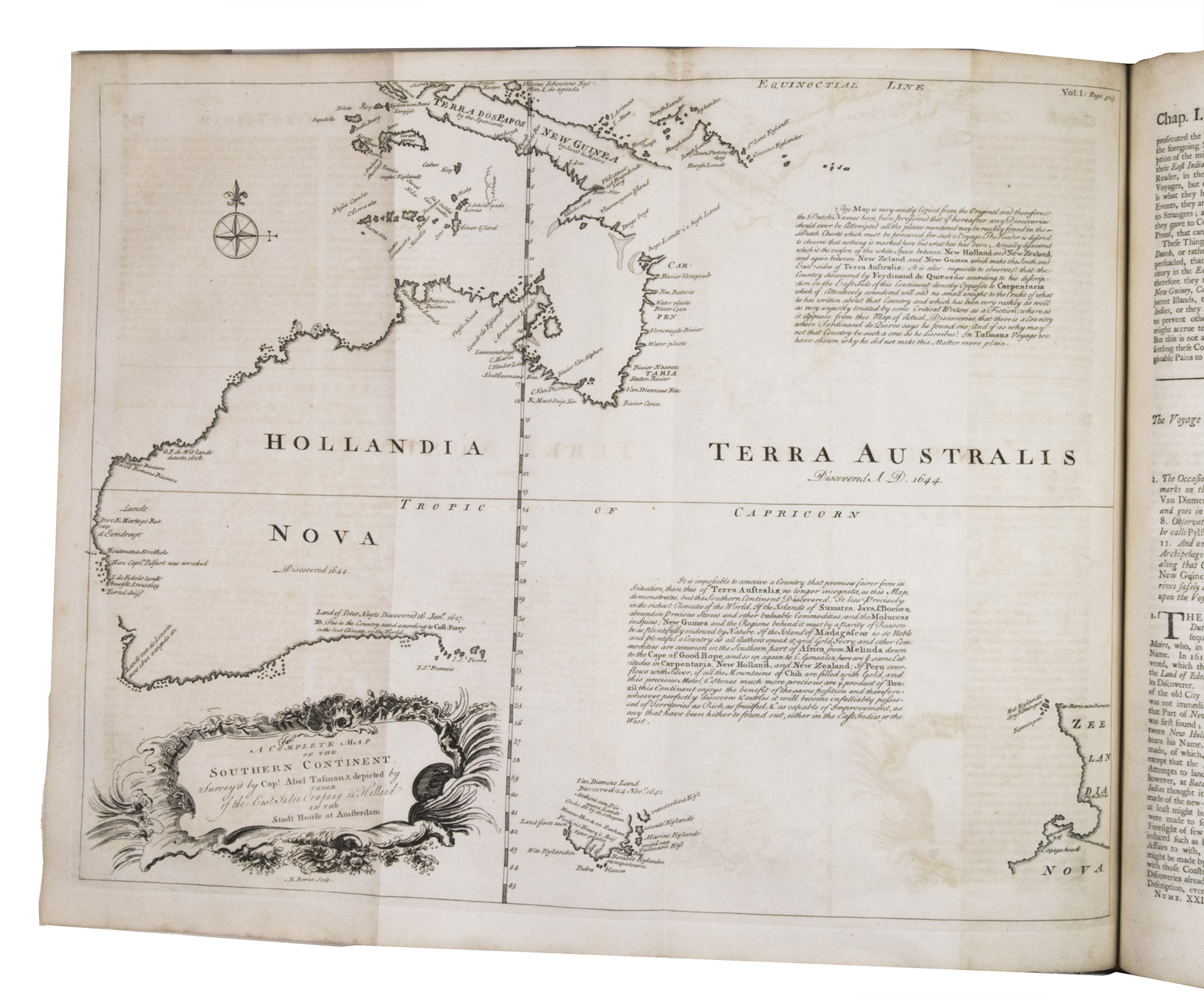
The collection is of particular cartographic interest because of the maps of Australia and Georgia. The folding map entitled A Complete Map of the Southern Continent, is the first English map of Australia. Included together with an account of the voyage of Abel Tasman, the map shows the coast of Australia from Carpentaria and west to Van Diemen's land, as copied from Tasman's original by Thevenot. It was the first ever map devoted entirely to Australia, and shows all the Dutch discoveries of the Western Australian, North Australian, Tasmanian coasts and a small section of the South Australian coast to the Islands of Saint Francis and Saint Peter (Nuyts Archipelago). 'T Land van P. Nuyts includes the first section of the South Australian coast which was discovered in January 1627. The map also includes the west coast of New Zealand (the two islands shown joined), and the south coast of New Guinea, which appears as if it may be joined to Australia. The map was first published in volume 1 of Relations de divers voyages curieux by Melchisedech Thevenot. It was widely disseminated and copied, and used in 1744 by Emanuel Bowen for John Harris' collection, with two additional annotations. The first discusses Quiros and his discoveries; the second puts forward the possibilities of Australia as a colony, and also suggests that, as it enjoys the same latitudes as South Africa, Madagascar, Peru, and Chile, where gold and silver are to be found, there is no reason why Australia should not contain these minerals.
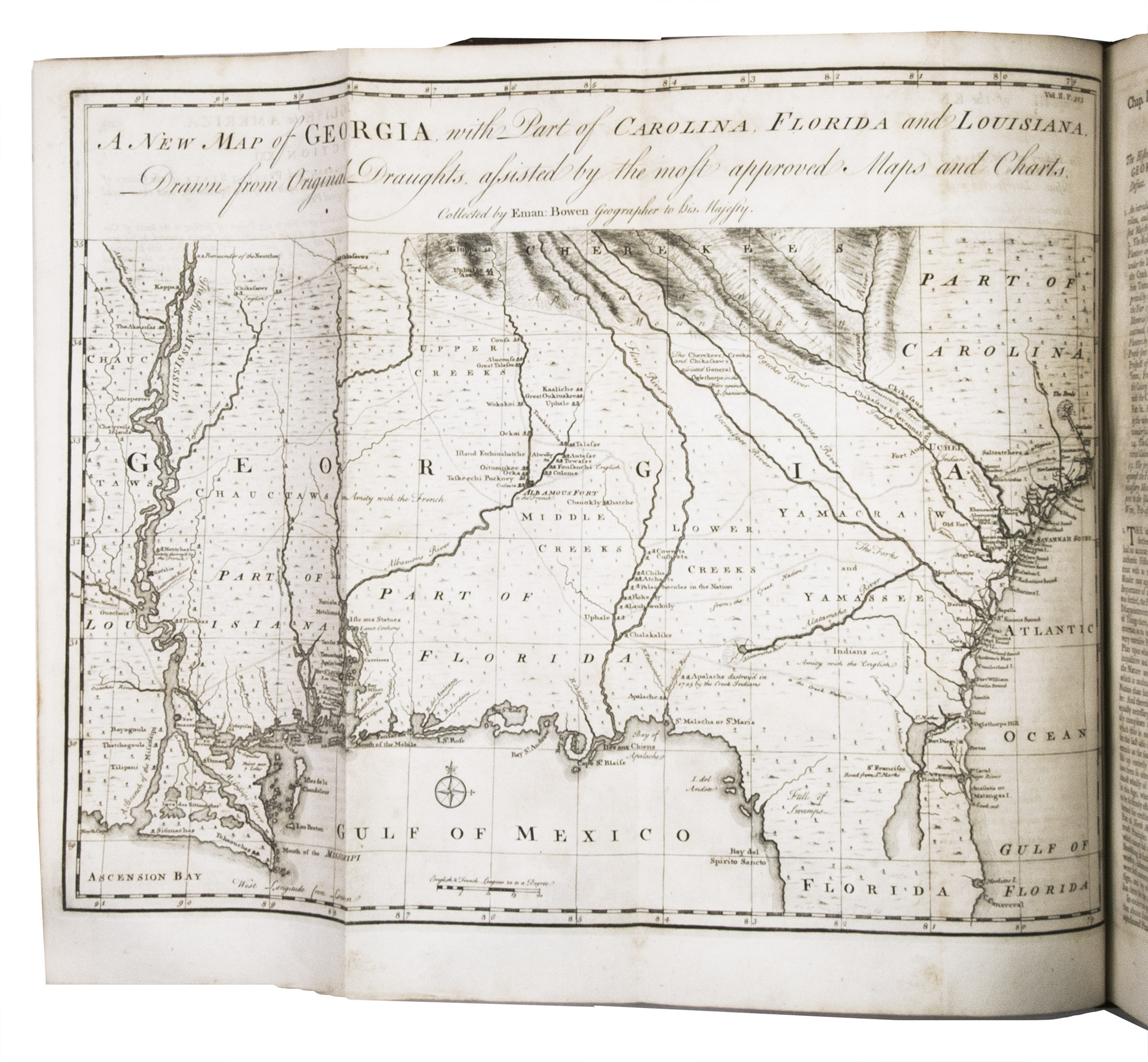
The second map, A New Map of Georgia, with part of Carolina, Florida and Louisiana, covers the area from Charles Town to the Mississippi River and extends into Florida to Cape Canaveral. The map was included as an accompaniment to a new chapter on Georgia (book I, chapter III, section 21), included for the first time in this edition. "Besides bringing a spectacular image, much useful information is also included, particularly the coastal settlements, Indian villages and French and English forts. A distinction is made between the tribes that are friendly and hostile to the English.. The trading paths and main roads are marked, many shown here for the first time" (Reese).
John Harris (1667-1719) was an English scientific writer, divine and topographer. In 1696, he was elected a fellow of the Royal Society. In the early years of the 18th century, he was employed by London booksellers to compile this collection of voyages and travels, which was afterwards improved by Dr. John Campbell.
The edges and corners of the boards are slightly scuffed, the boards are slightly scratched, the spine of volume 2 has been repaired, the hinges and spine are somewhat weakened, but the structural integrity of the binding is still intact. The work is slightly browned throughout, with small tears in some of the margins, not affecting the text. Otherwise in very good condition. Arnot 23; Clancy 6.25; Cox I, p. 10; Cummings 267 (the Georgia map); Davidson, pp. 37-8; DNB 25, pp. 13-14; Hill 775; Perry, p. 60 and pl. 29; Sabin 30482; Schilder 87 (the Australia map).
Related Subjects:
