BLAEU, Joan.
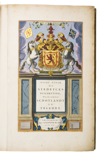
Vyfde stuck der aerdrycksbeschryving, welck vervat Schotlandt en Yrlandt.
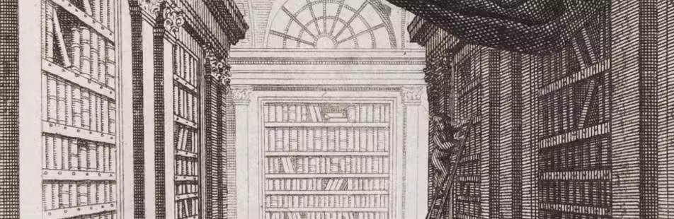
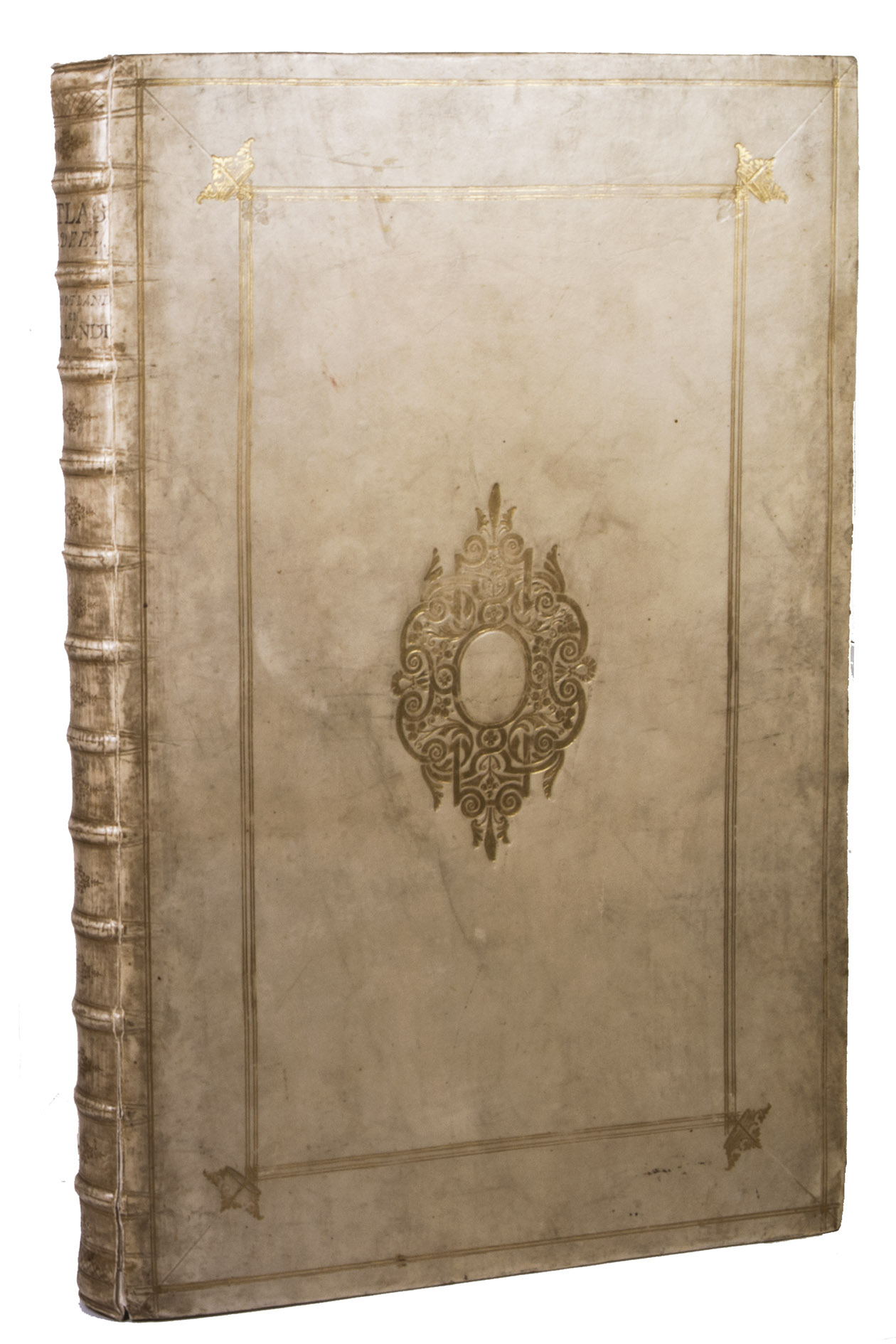
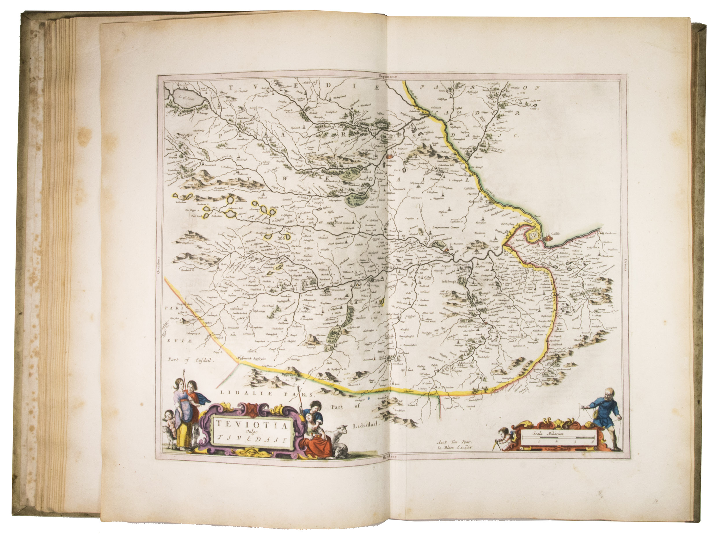
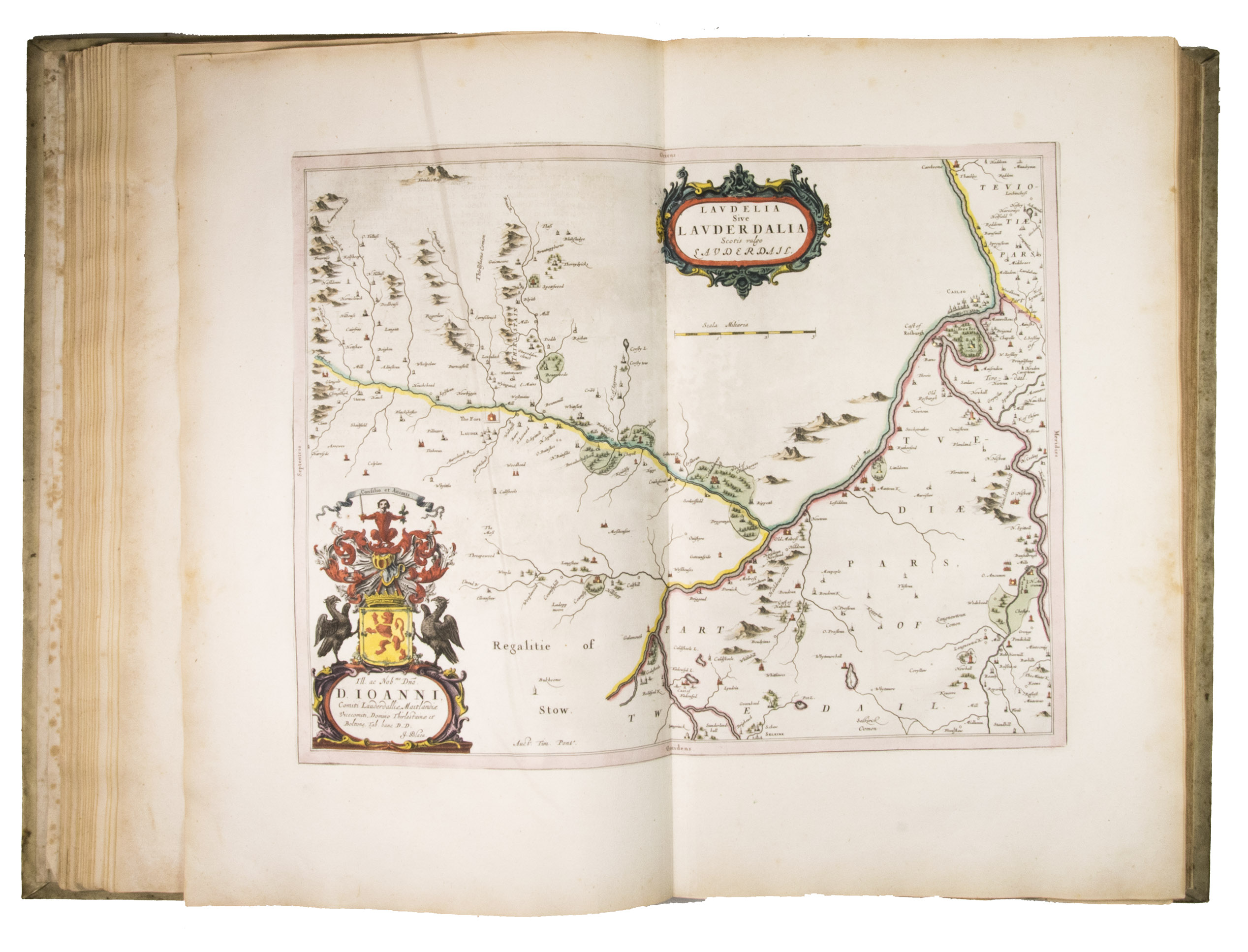
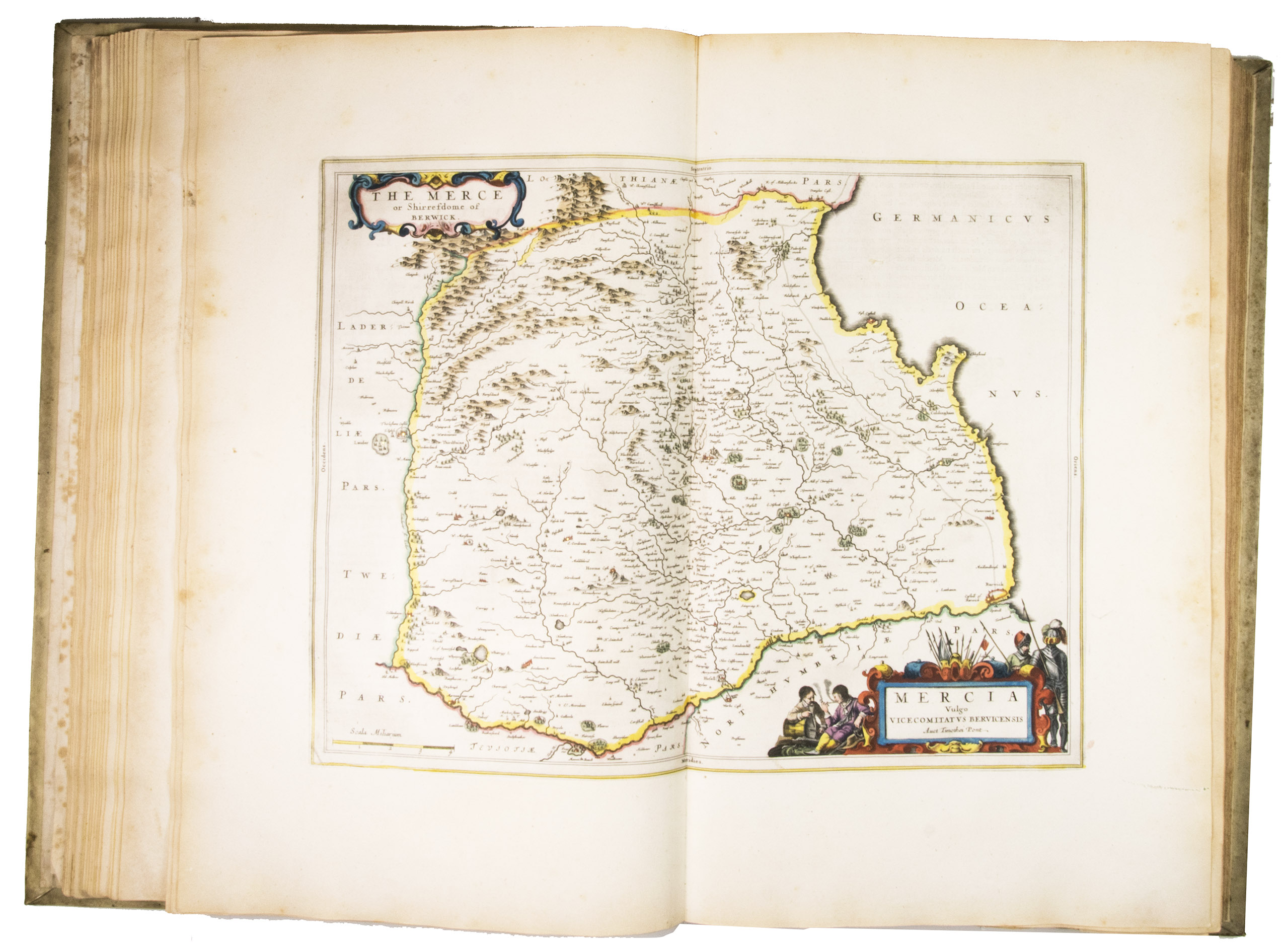
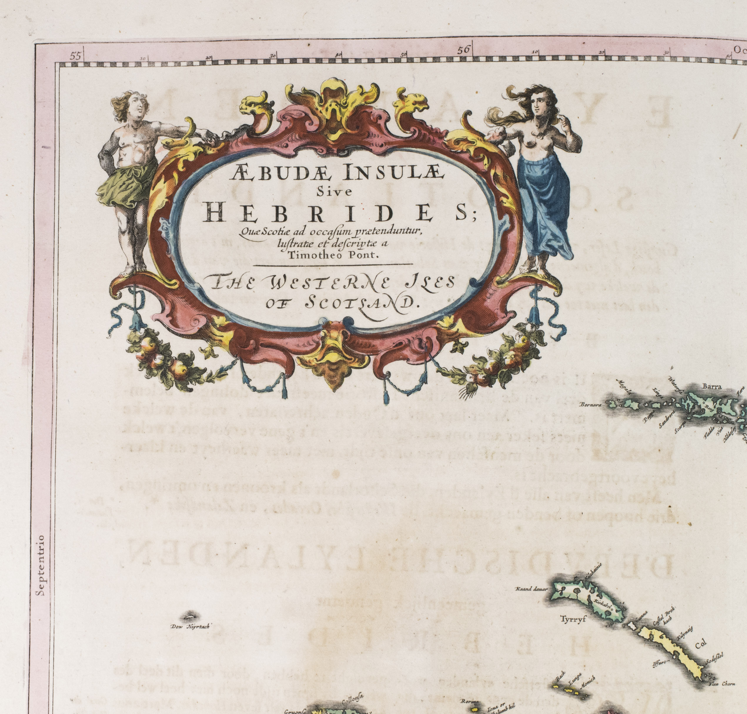
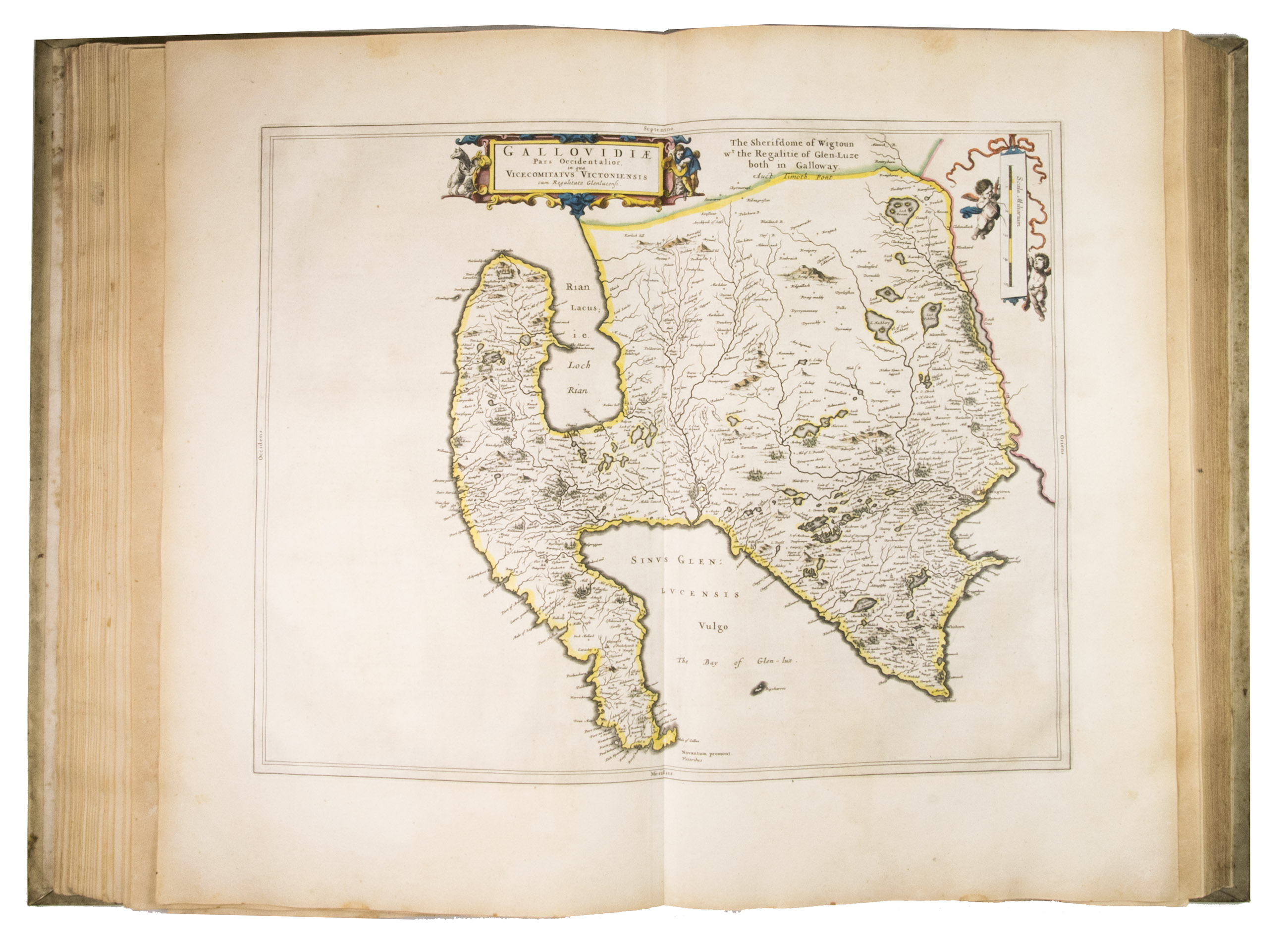
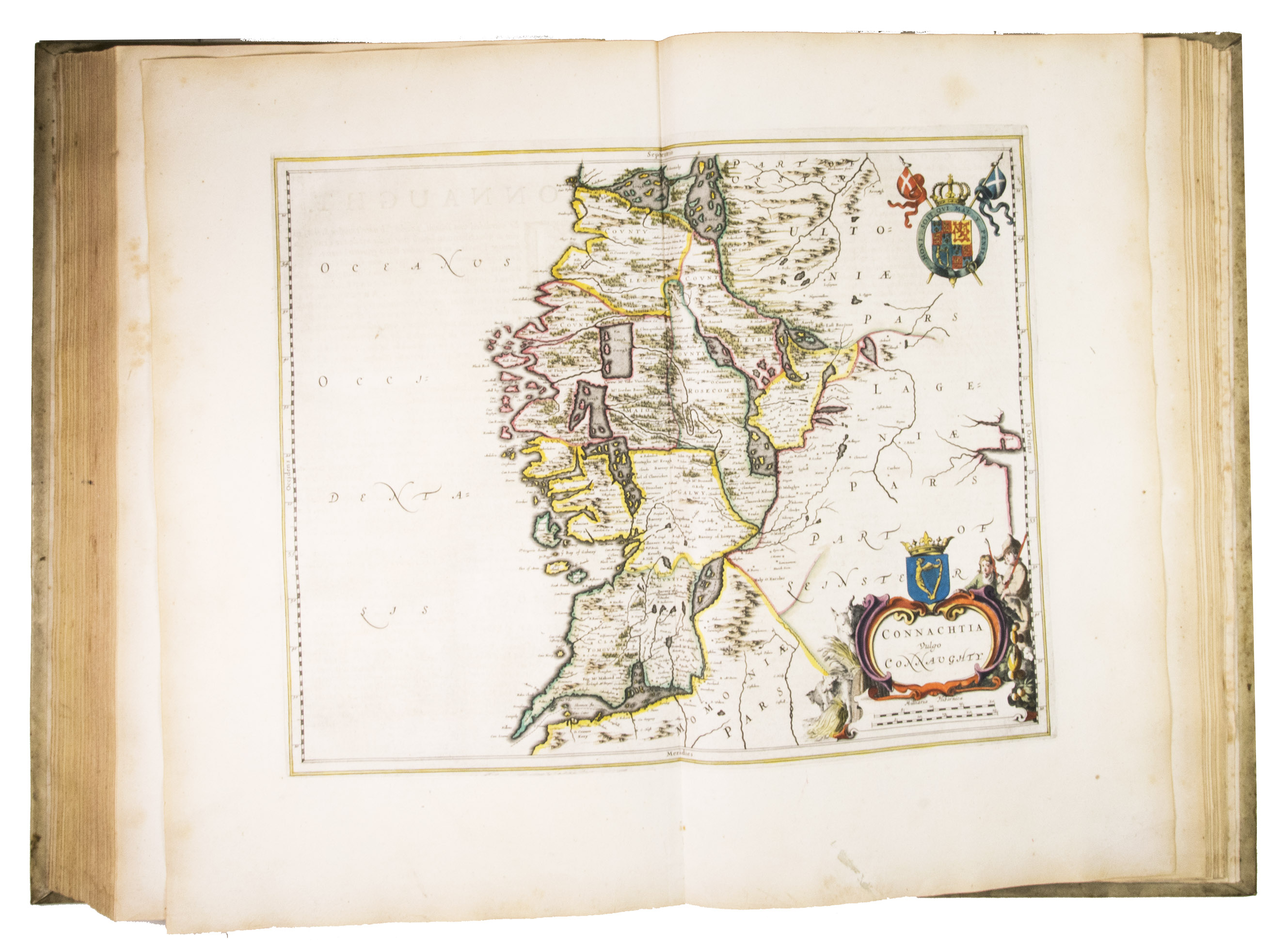
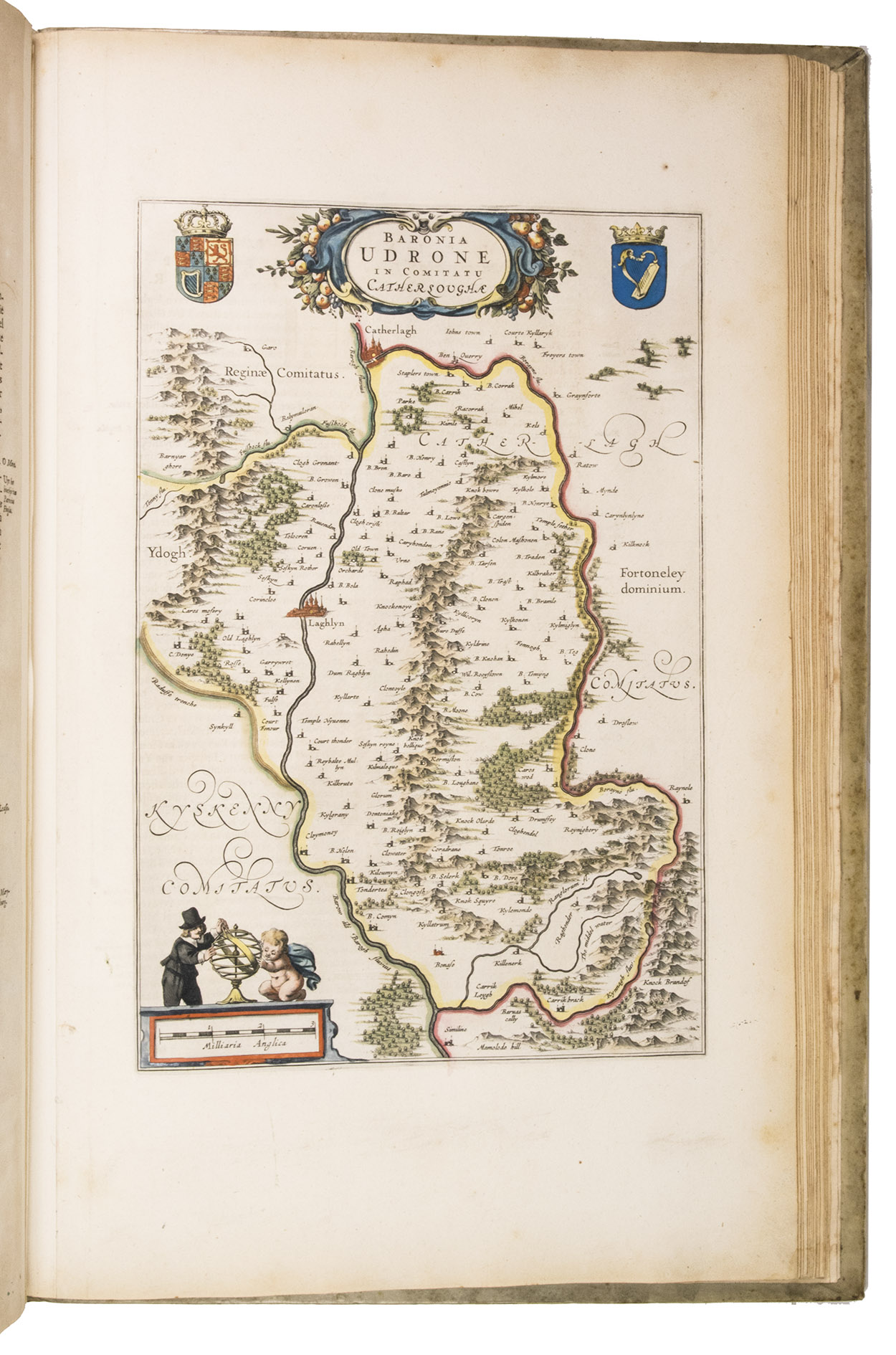
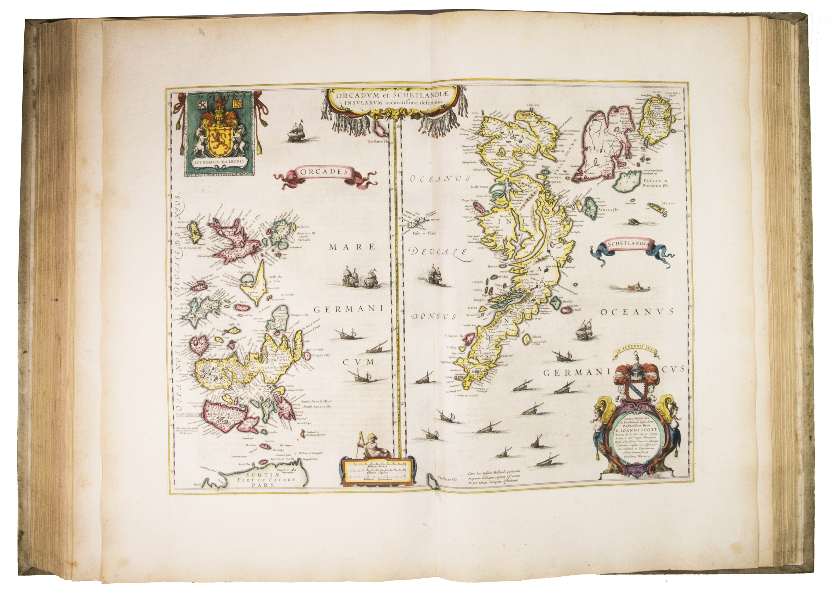
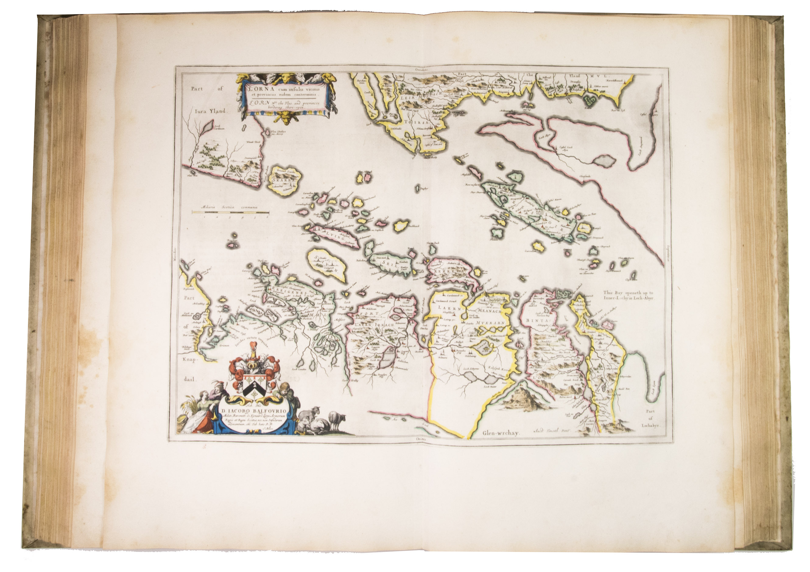
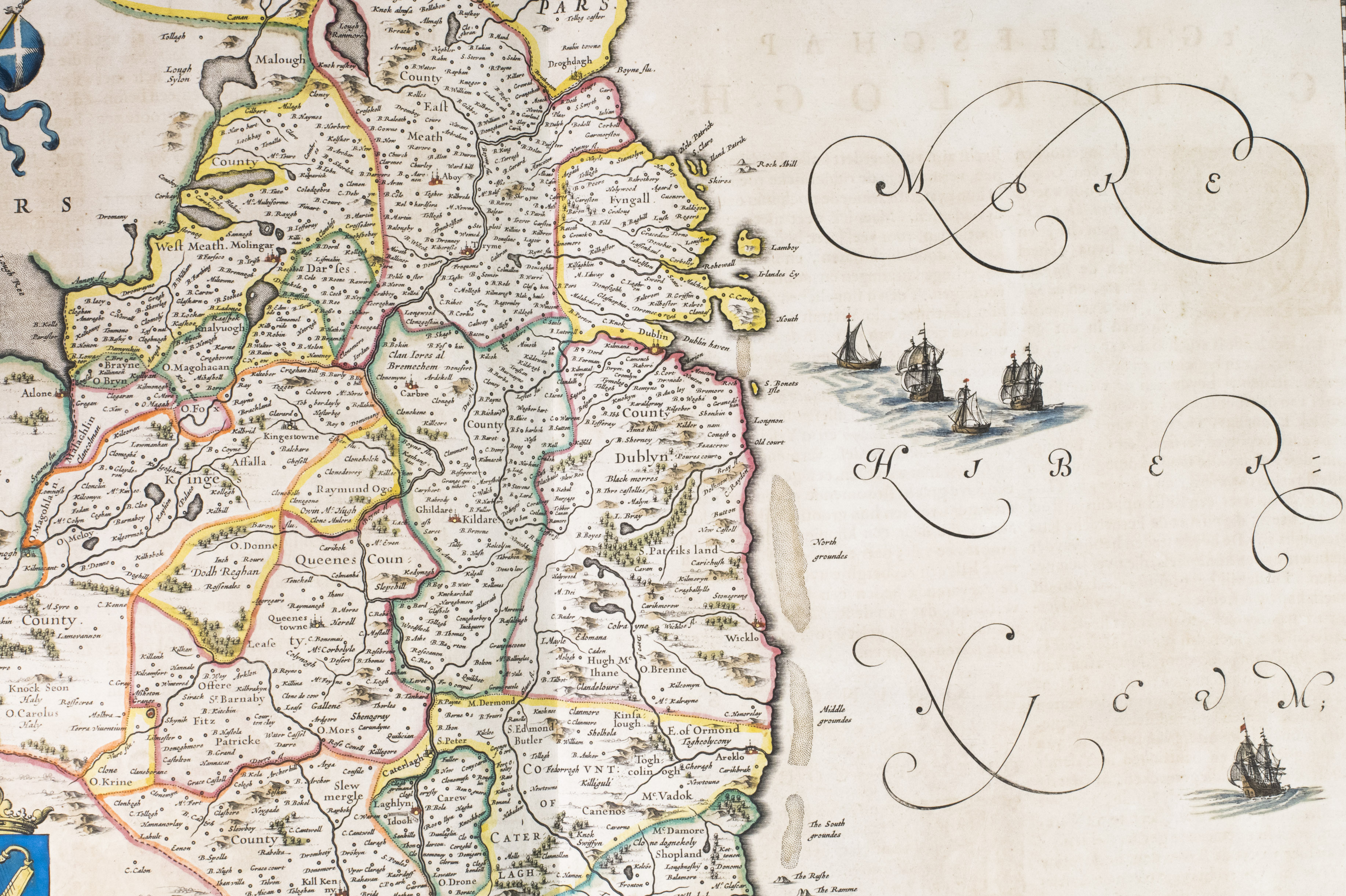
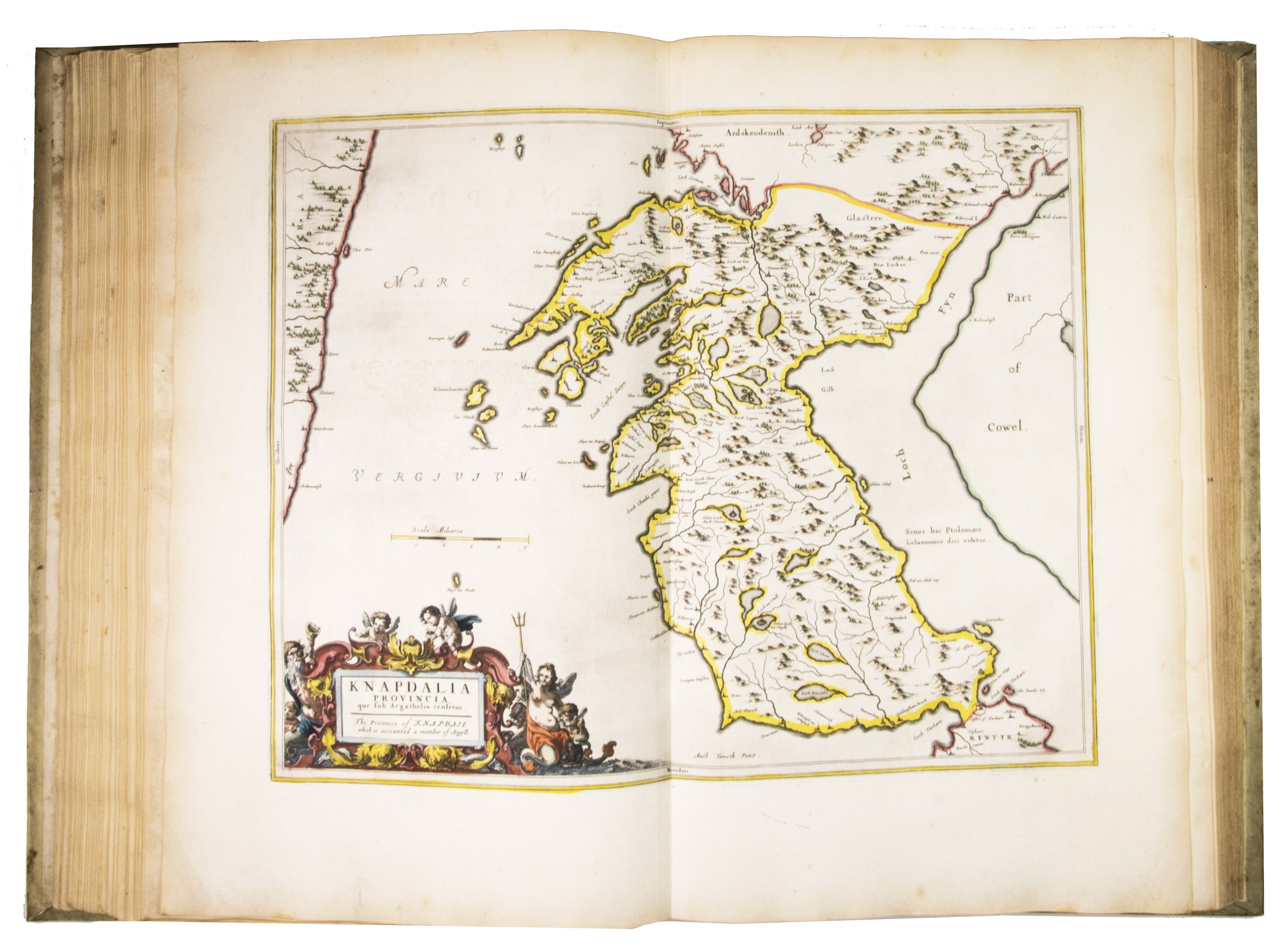
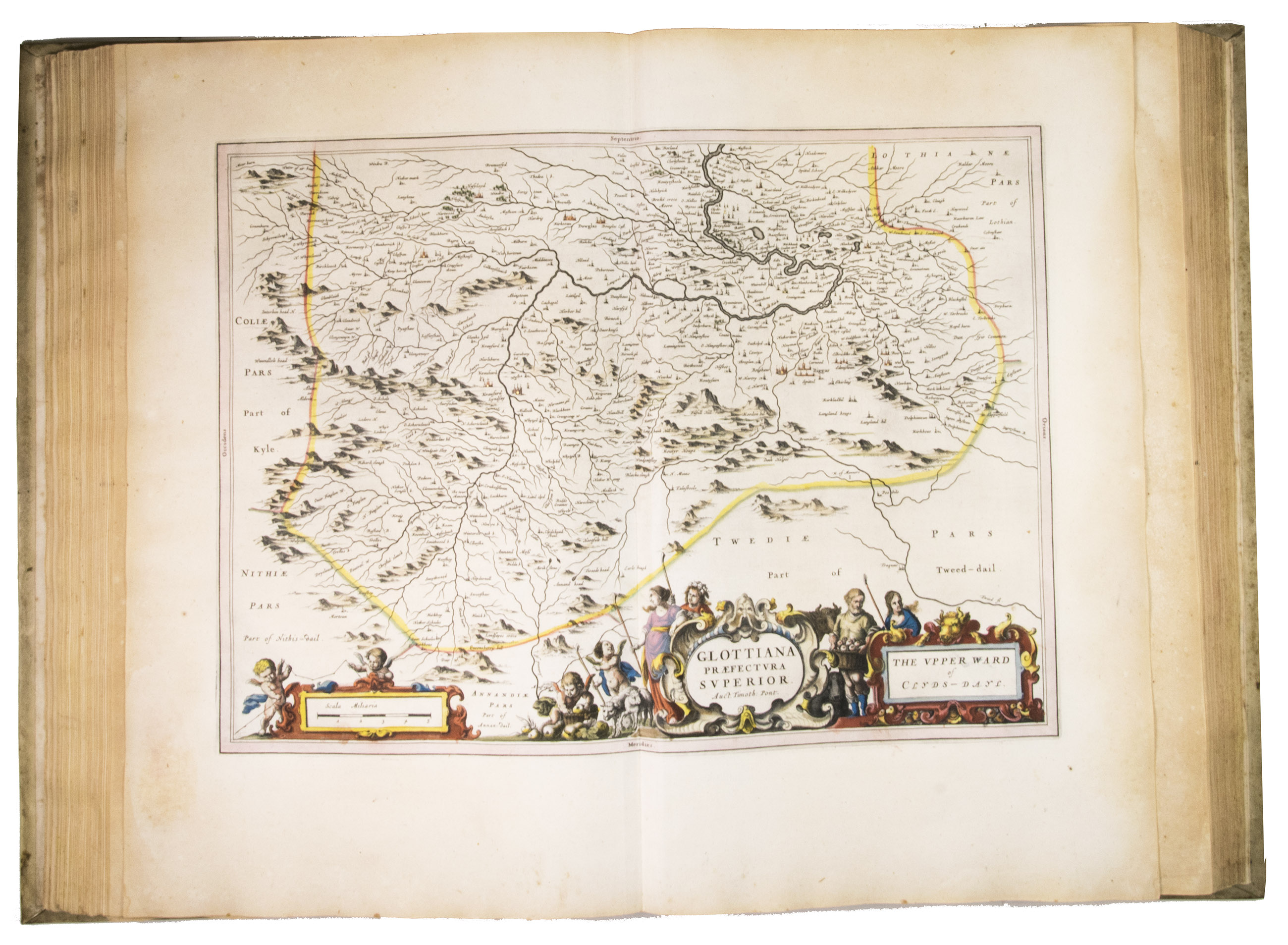
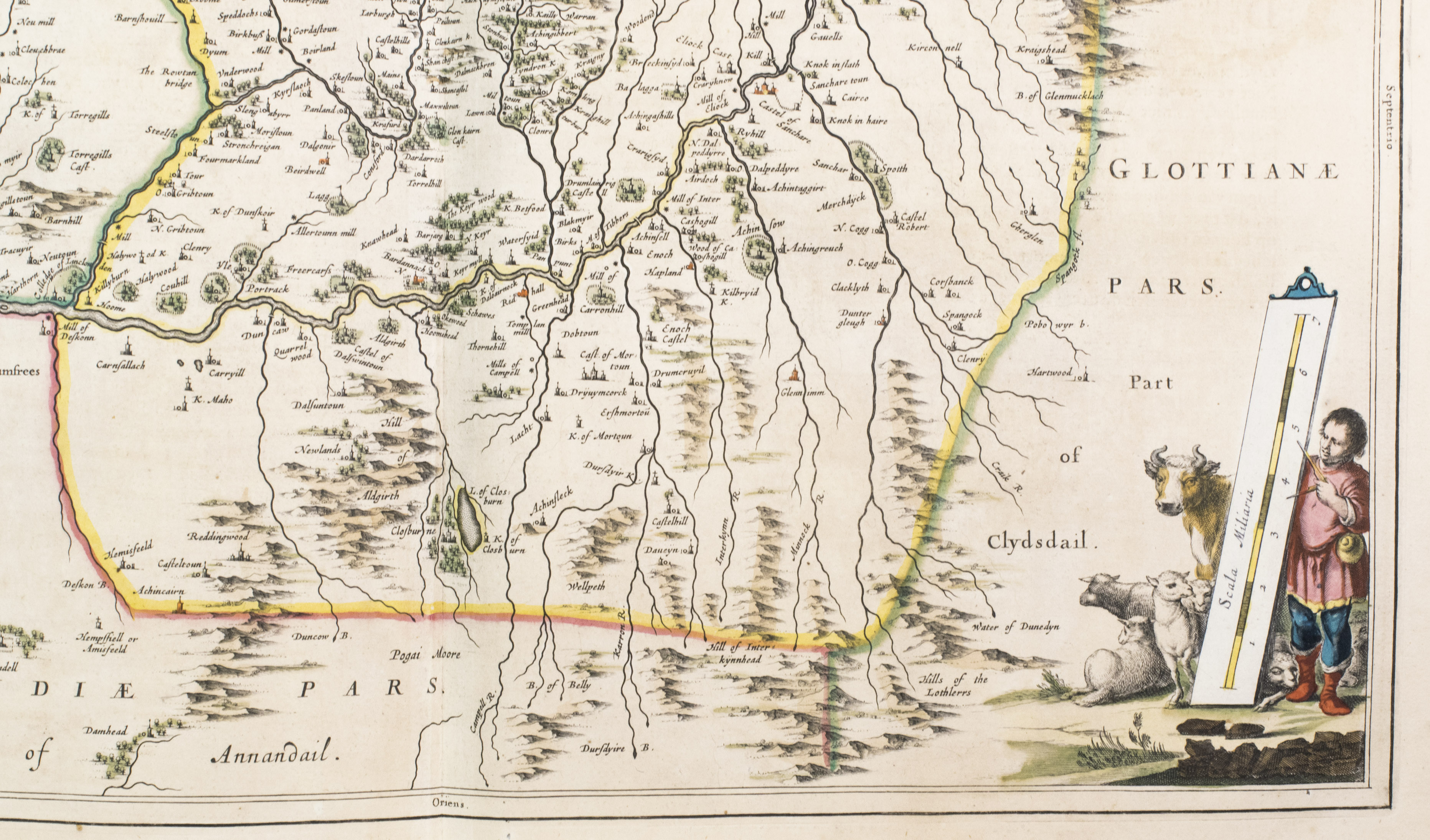
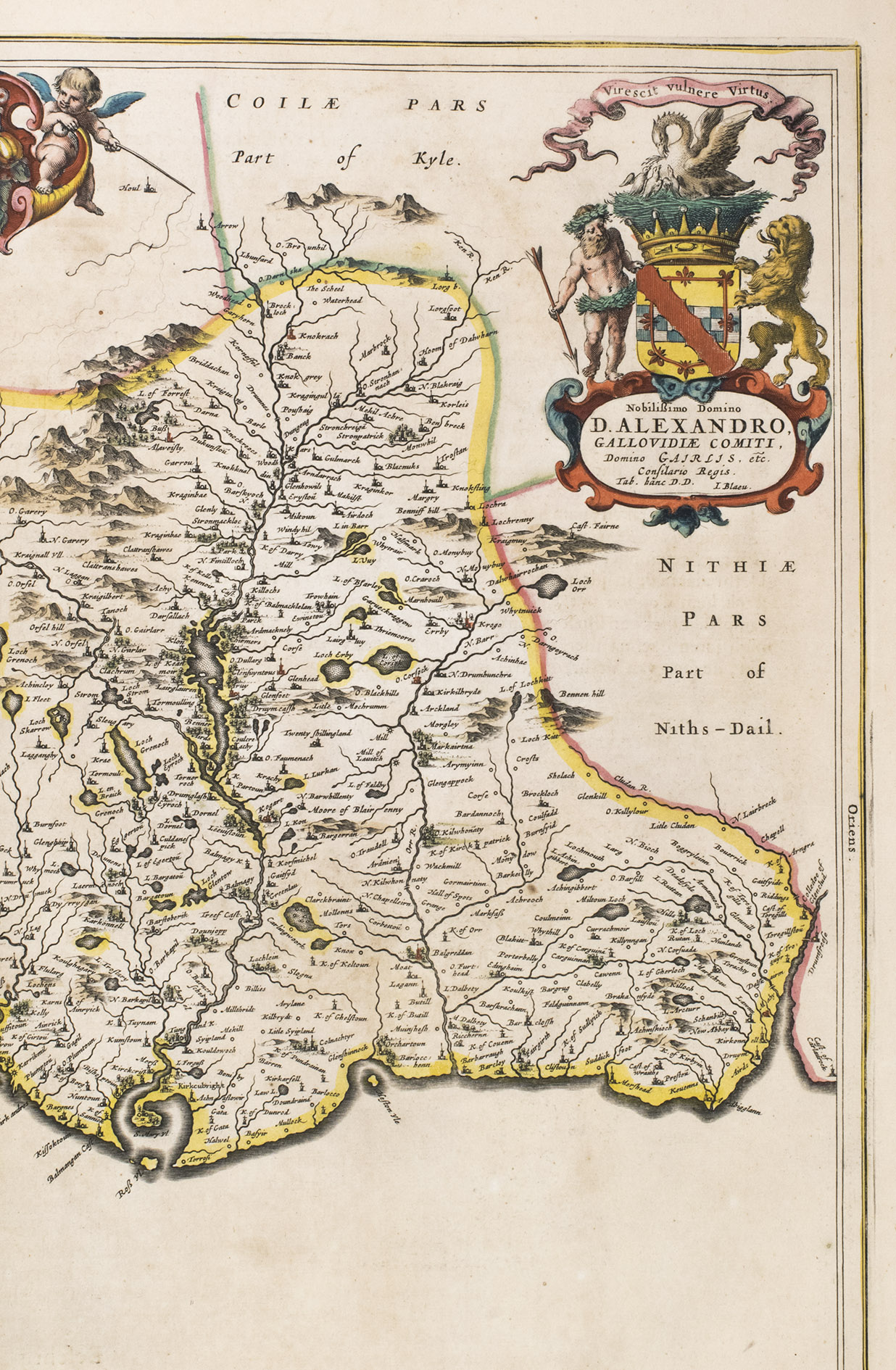
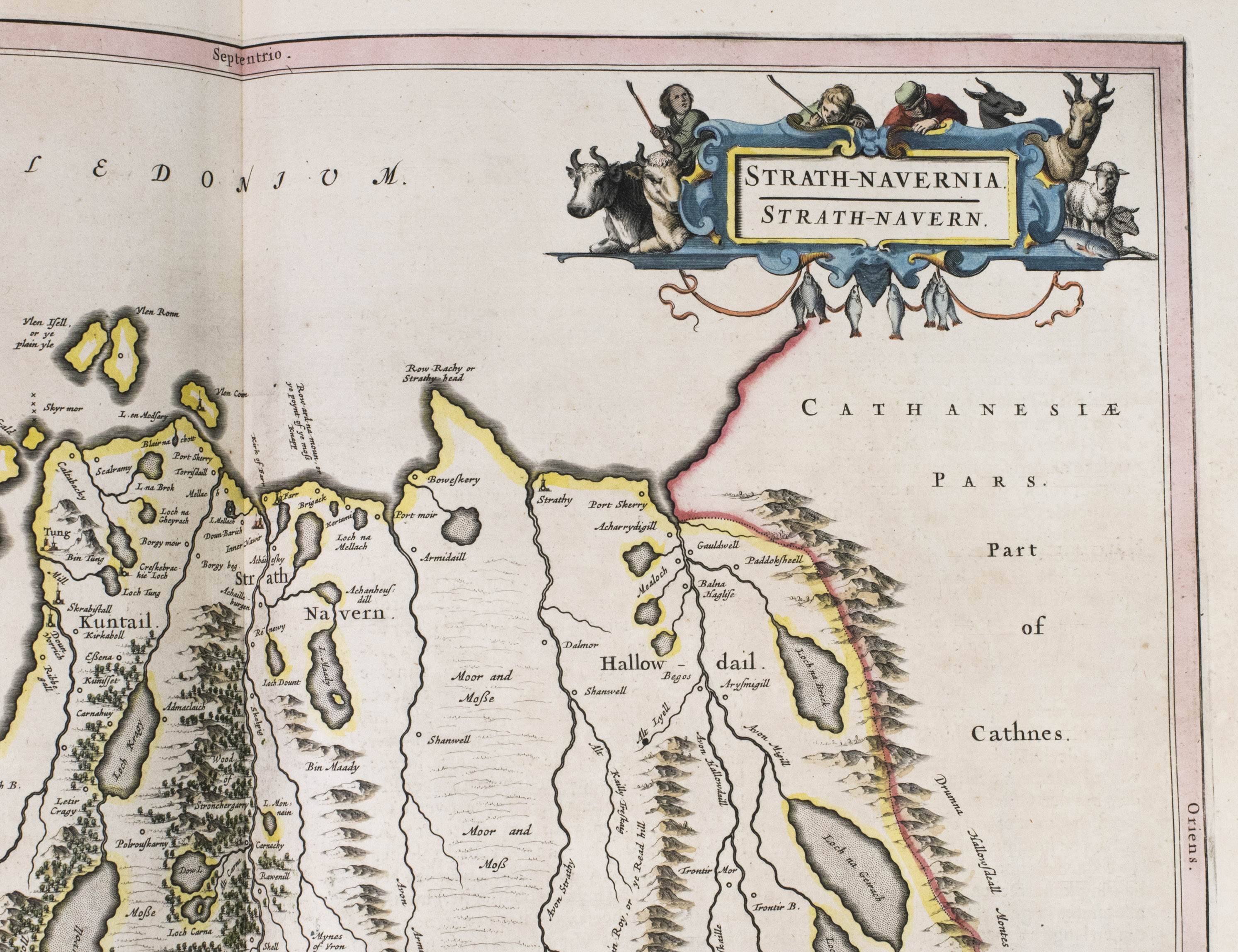
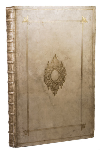
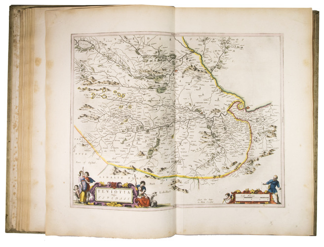
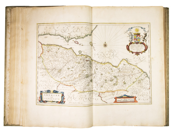
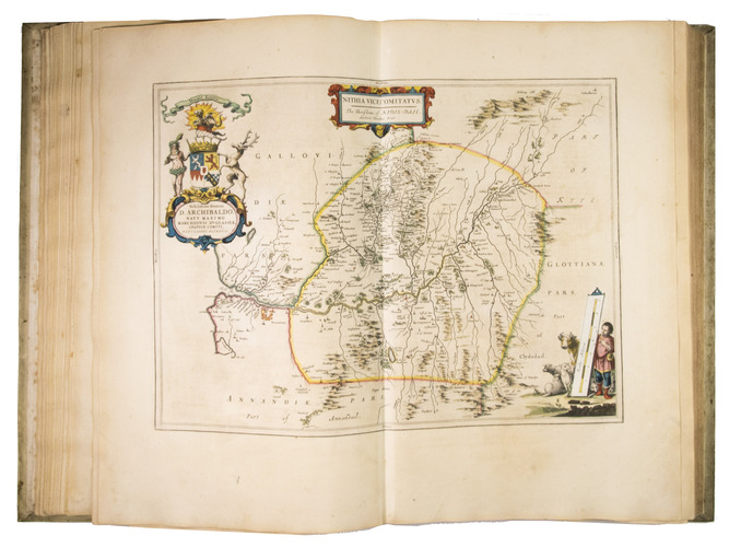
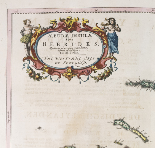
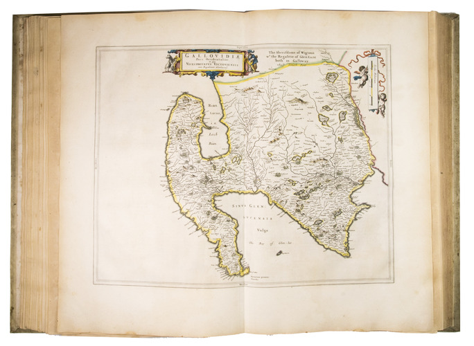
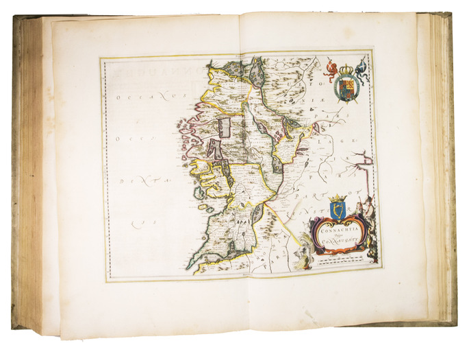
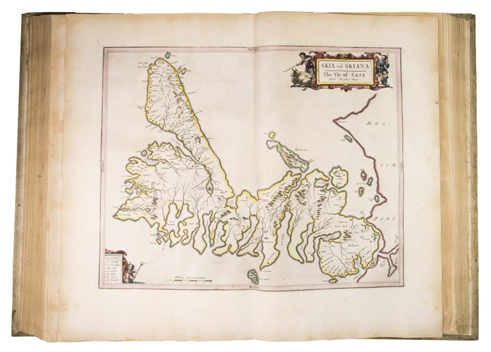
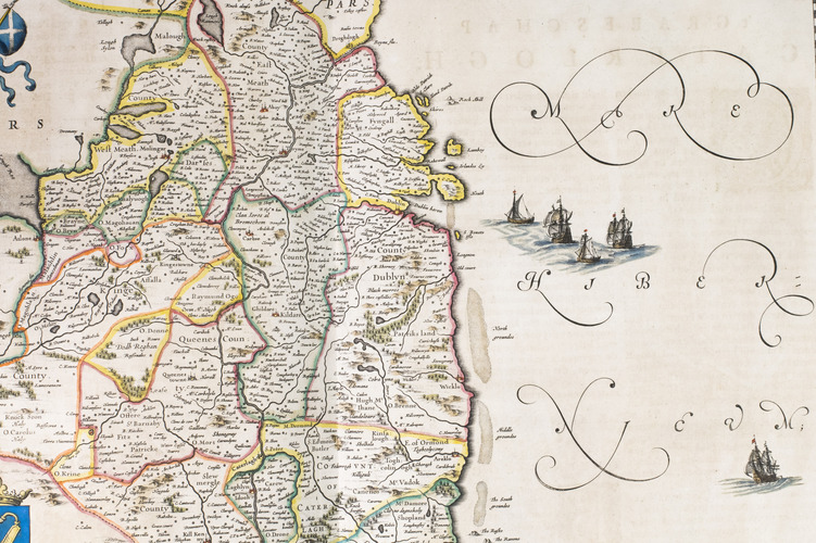
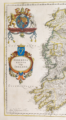
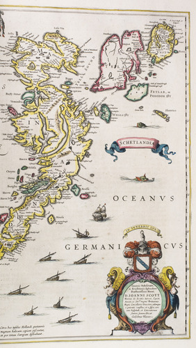
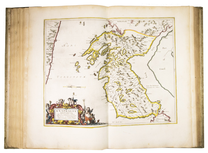
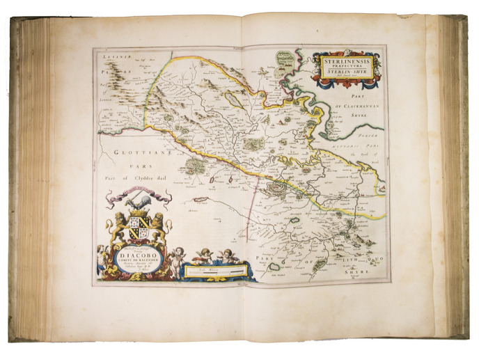
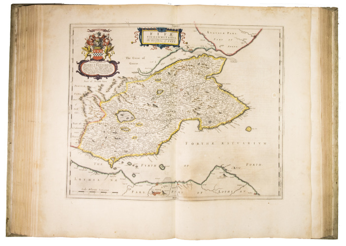
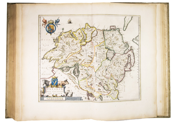
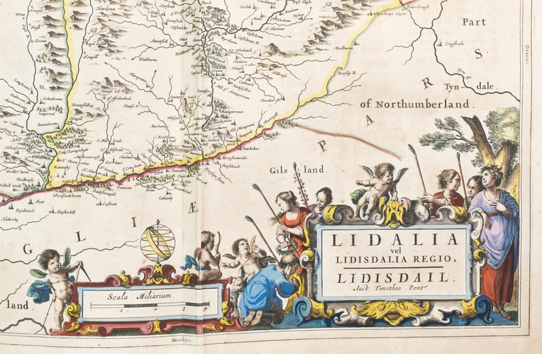
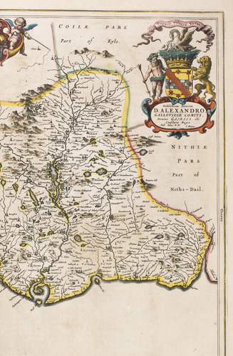
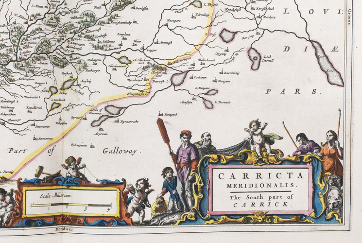
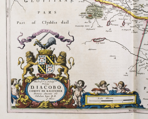
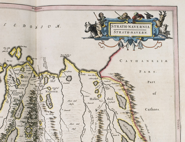
Amsterdam, Joan Blaeu, 1654. Atlas folio (57.5 x 39.5 cm). With engraved architectural title-page with the arms of Scotland filling the top half, elaborately crested, supported by unicorns with flags and still with the old Stuart royalist mottos, and 55 engraved maps (54 double-page and 1 of the Irish County Caterlogh, full-page), often richly adorned with additional cartouches with regional scenes, but most often with coats of arms from the region. Numerous woodcut tailpieces and decorated initial letters. The title-page and all maps, including the cartouches, scenes and coats of arms, beautifully coloured by hand and highlighted with gold. All maps in their first states, without added ships or compass roses. 17th-century Dutch gold-tooled vellum. [8], 189, [1 blank], 70, [1, 1 blank] pp.
€ 24,000
First edition, in Dutch, of the first national atlas of Scotland, far more accurate than any previously published, complete with the atlas of Ireland, the whole beautifully executed by Blaeu's printing office and with the engraved title-page, maps, and the cartouches, pictorial scenes and coats of arms in the maps coloured by a contemporary hand and highlighted with gold. The maps are coloured in outline, but with cities, forests, mountain ranges, etc. also coloured. It was published both separately and (as in the present copy) as the 5th volume of the 9-volume Dutch edition of Blaeu's Atlas major or Grooten atlas.
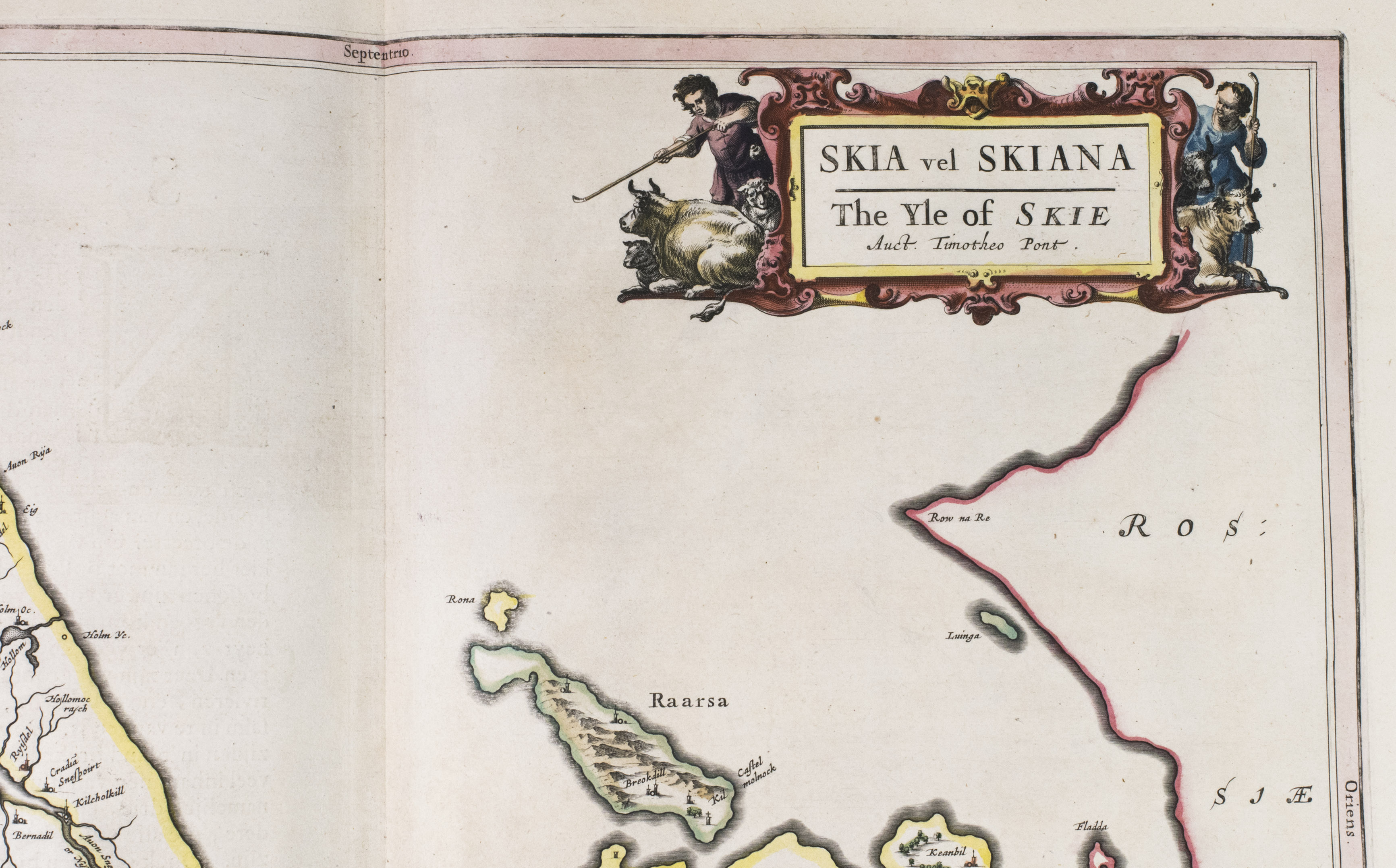
Willem Jansz. Blaeu initiated work on a Scottish atlas ca. 1631, based at first on manuscript maps made by Timothy Pont ca. 1596-1600, but it was set aside. Blaeu died in 1638 and his son Joan returned to the project, gaining the patronage of King Charles I of England in 1641. King Charles enlisted the Scottish geographer Robert Gordon, near Aberdeen, who carried out new surveys to correct and supplement Pont's maps. The English Civil War delayed work further. King Charles was beheaded in 1649, so when the atlas finally appeared in 1654 (in Latin, French, Dutch, German and Spanish editions) it bore a privilege from (among others) Oliver Cromwell. It was the second volume to be completed (after France) of what was to become Blaeu's most famous atlas ("the greatest and finest atlas ever published": De la Fontaine Verwey), the Dutch edition completed in 1665. The title in the letterpress slip on the engraved title-page and the volume number on the spine show that the present copy was included as part of the Grooten atlas, but both the states of the maps and the variant readings in the letterpress text show the versions noted by Van der Krogt in the earliest copies, issued separately, confirming the title-page date 1654.
The main text and preliminaries are set in four large roman types cut by Nicolaes Briot, the largest accompanied by Christoffel van Dijck's italic.
In good condition, with a few leaves browned, a few creased, and occasional minor water stains or foxing. The first atlas of Scotland and Ireland, splendidly produced by Joan Blaeu. Koeman & V.d. Krogt 2:621.5 (2:421Qa with different title-slip); cf: H. de la Fontaine Verwey, "De glorie van de Blaeu-Atlas", in: Uit de Wereld van het Boek III, pp. 195 ff.
Related Subjects: